AvironiX Agricultural Mapping and Crop Analytics Service
Drone mapping and AI analysis for farms: land maps, DSM, NDVI crop health, weed and crop identification and tree counting.
 Sold byAvironix Chennai
Price
Price on request
Ask for a quote for your quantity and delivery location.
- Free
- No account
- Vendor replies
About this service
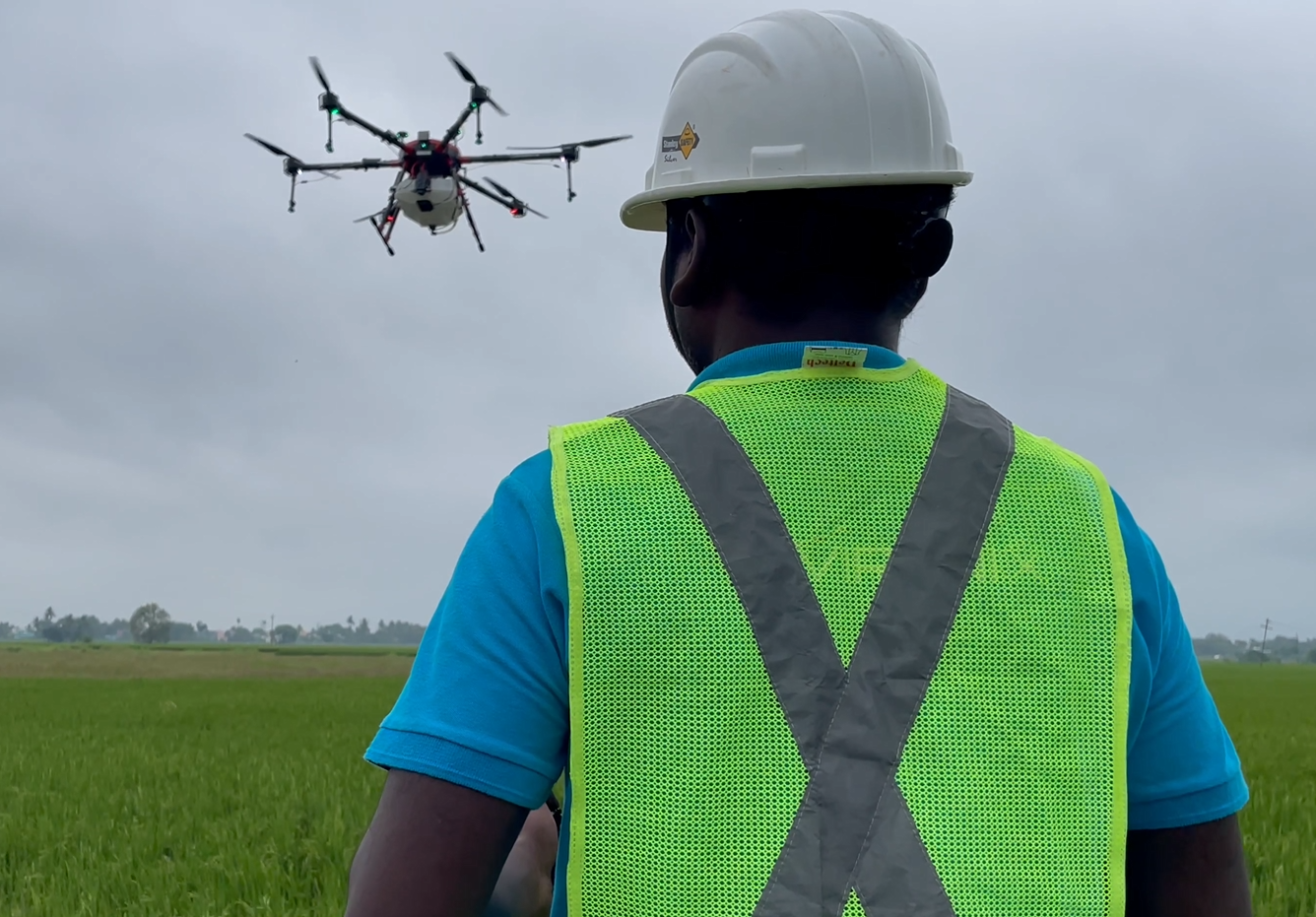
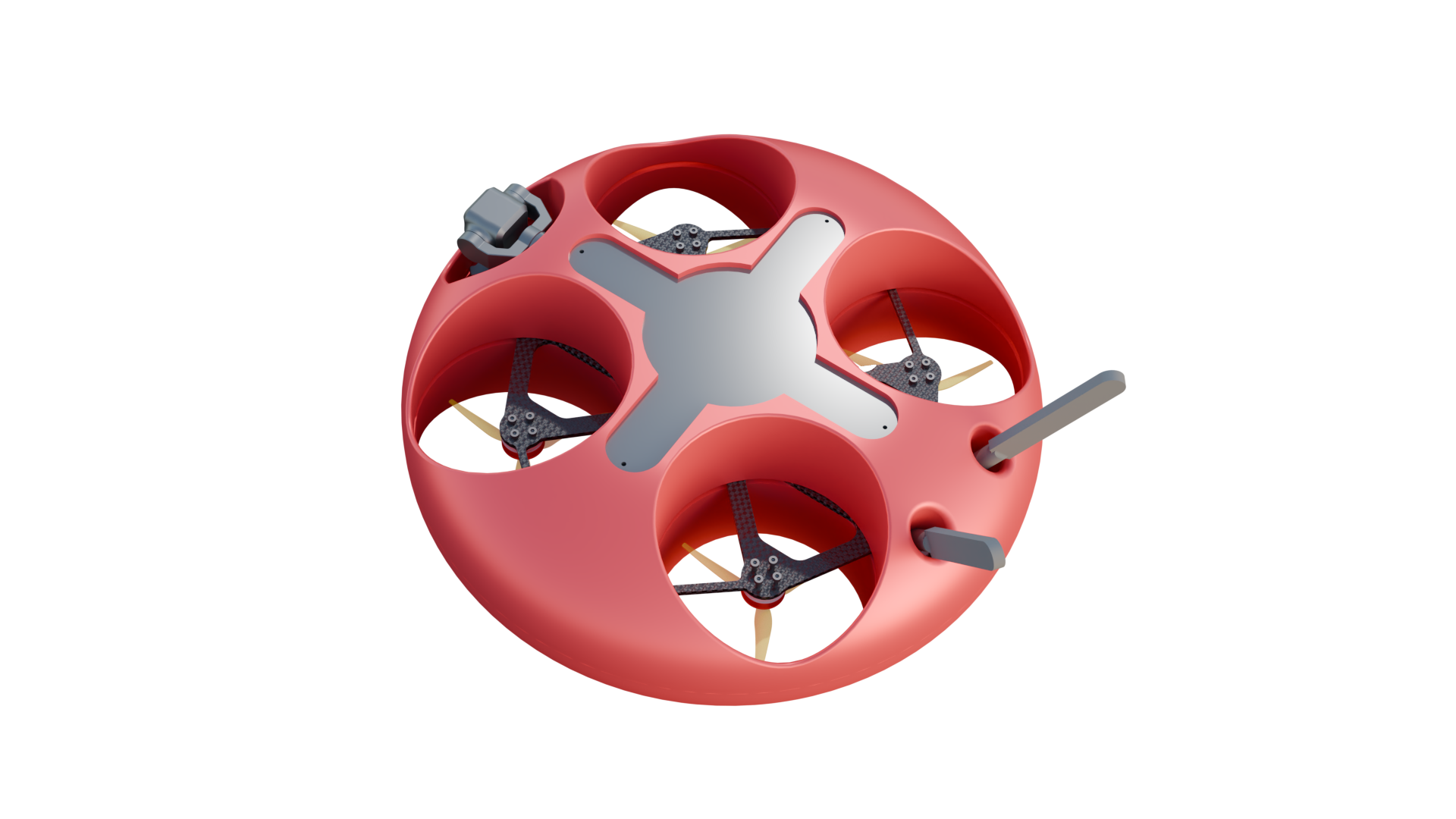
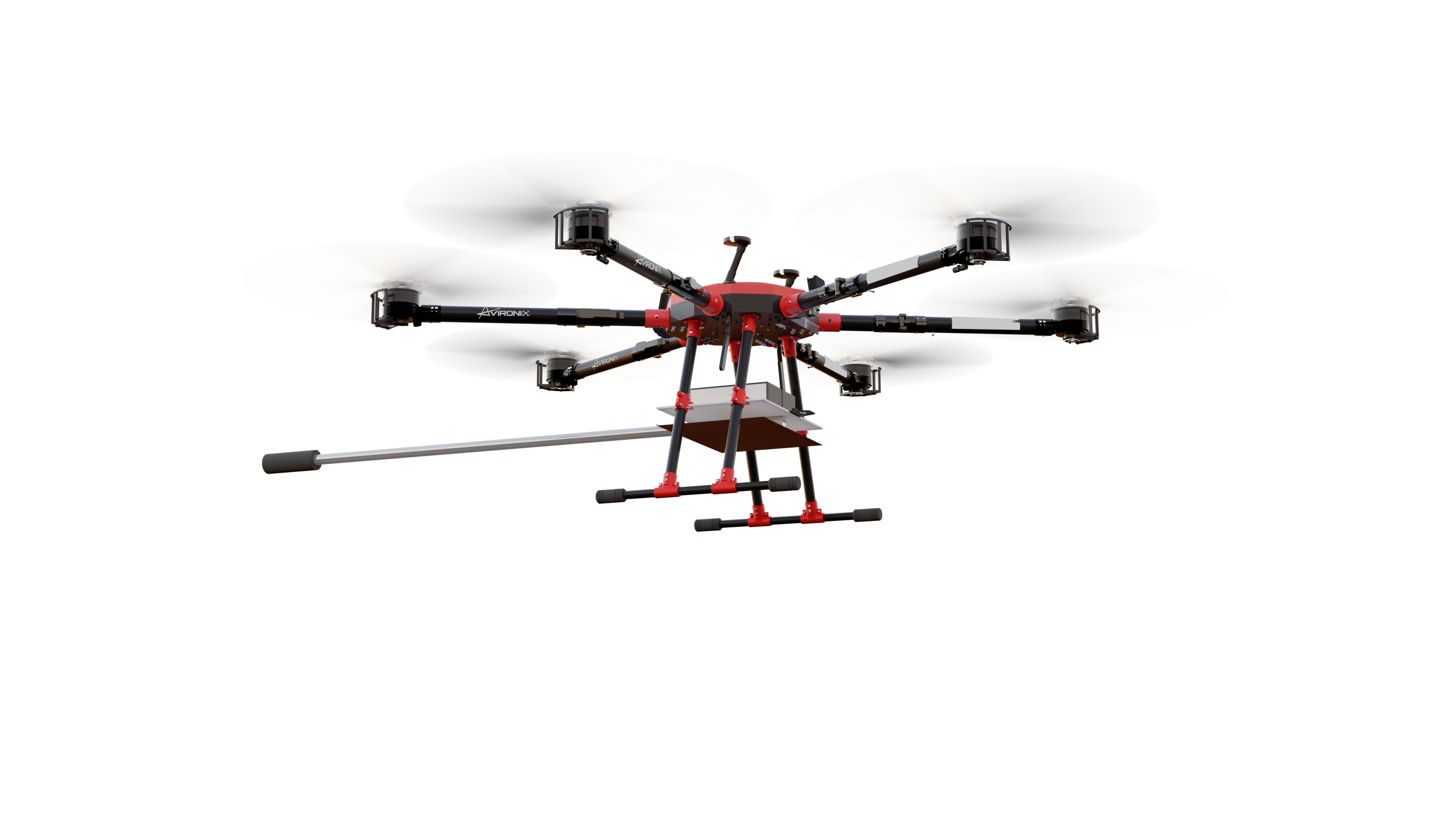
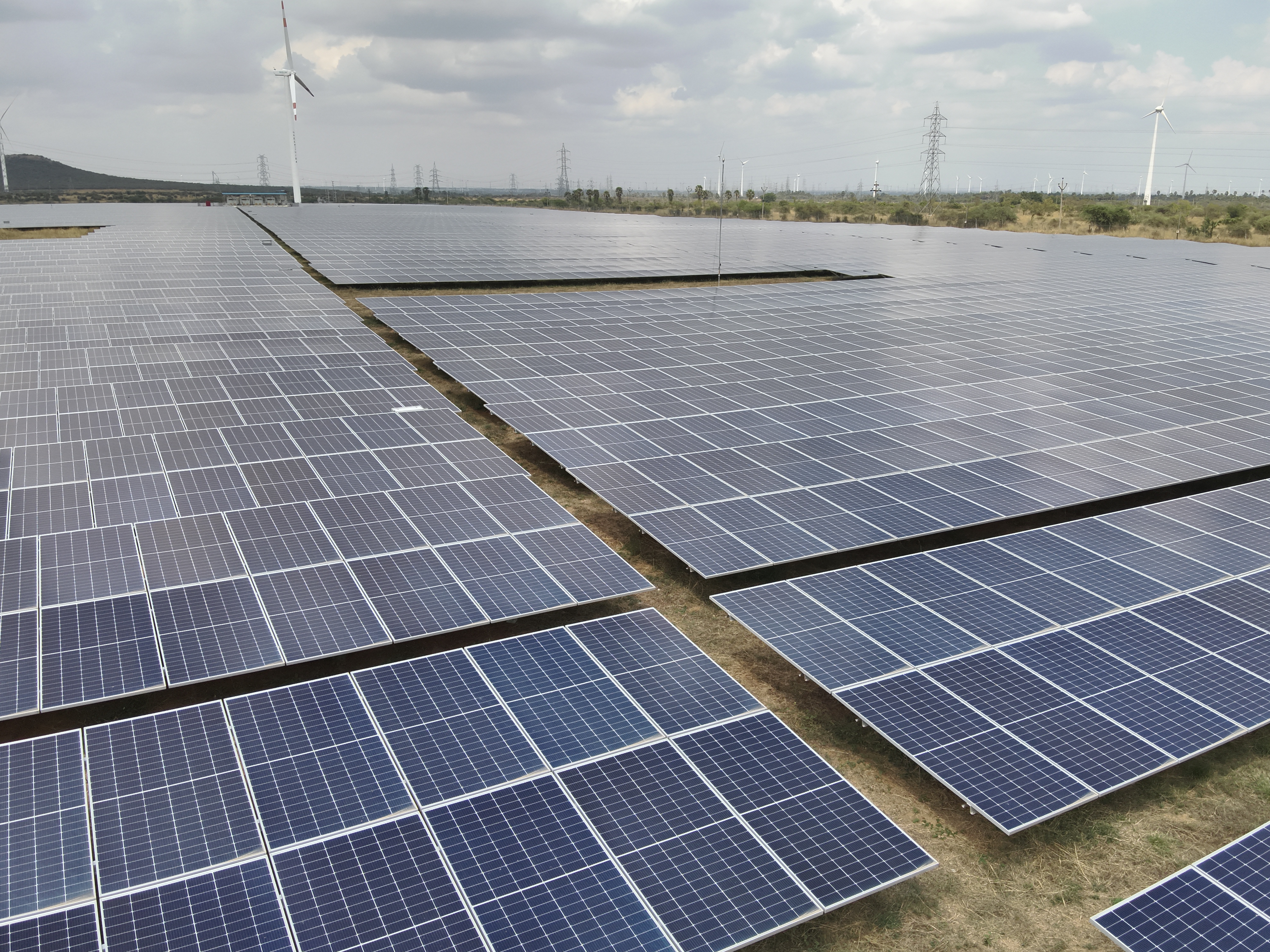
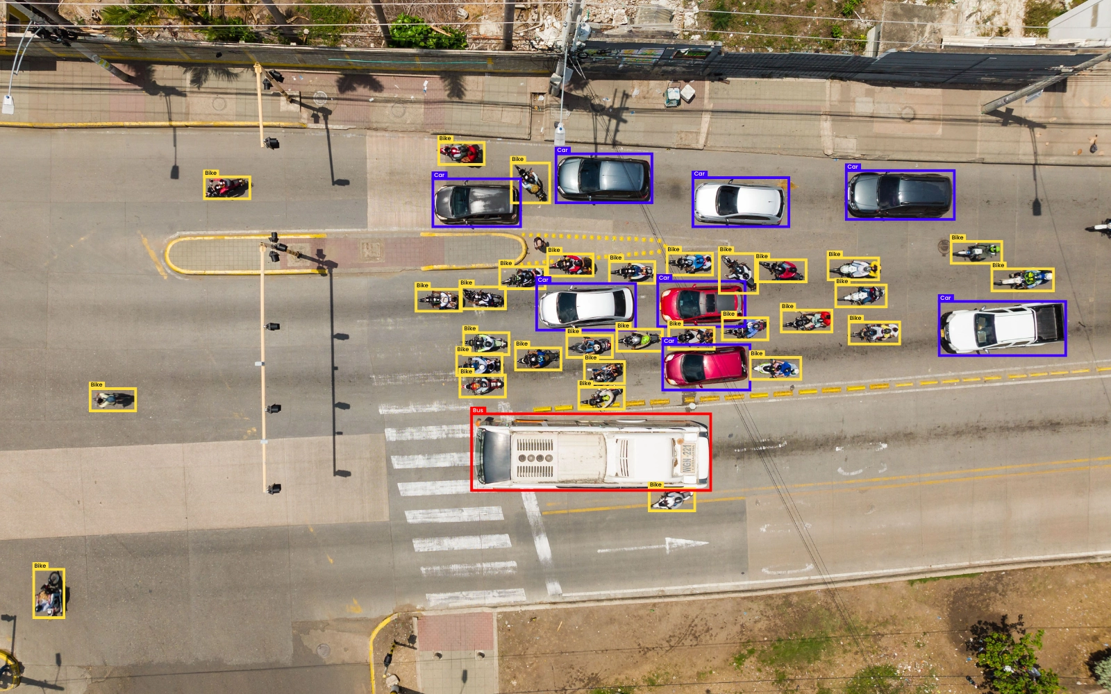
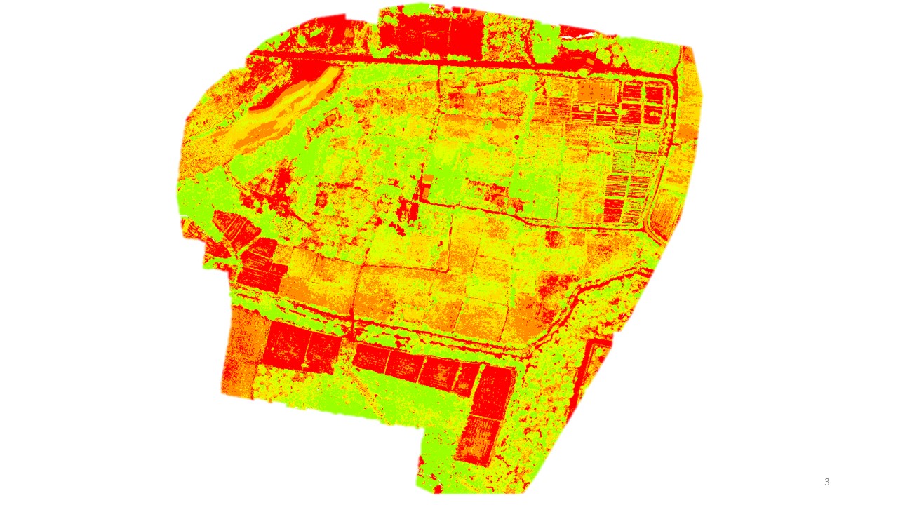
Under its advisory services AvironiX flies mapping and multispectral drones over farmland and processes the data into decision support. Listed outputs are land maps, 3D models and GIS datasets, digital surface models, NDVI crop-health maps for early detection of stress, weed identification for targeted control, crop identification and classification, and AI-based tree counting for plantations and forestry. The work is offered as a service rather than software. Coverage area, turnaround and pricing are not published.
Specifications
1 of 2 published by the vendor. “Ask the vendor” means the brochure does not say.
Service
- Service area
- Ask the vendor
- Deliverables
- Land Mapping; Digital Surface Model; Crop Health Monitoring (NDVI); Weed Identification; Crop Identification; Tree Counting
More details
- Made in
- India
AvironiX Agricultural Mapping and Crop Analytics Service
Price on request