 1 / 2
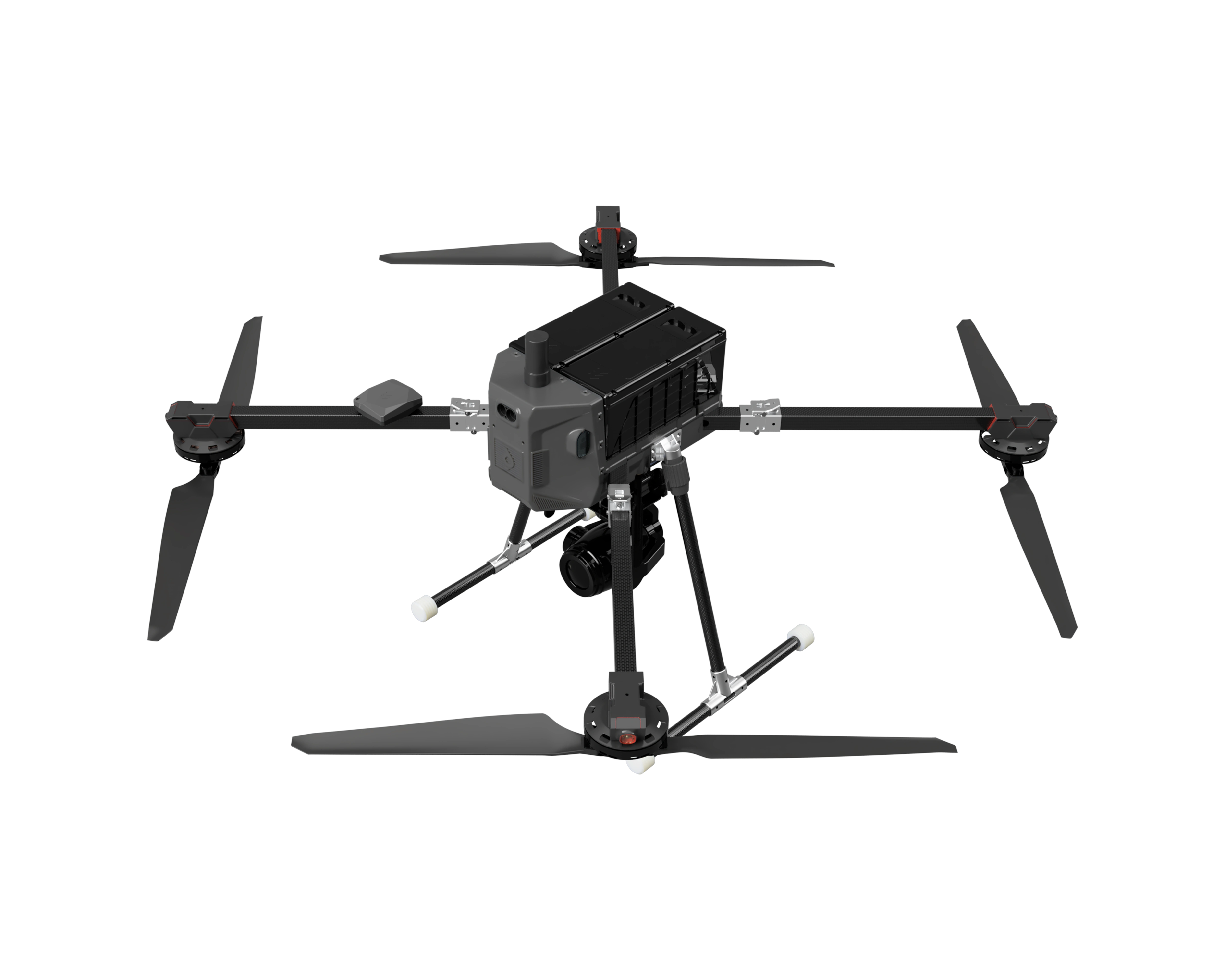
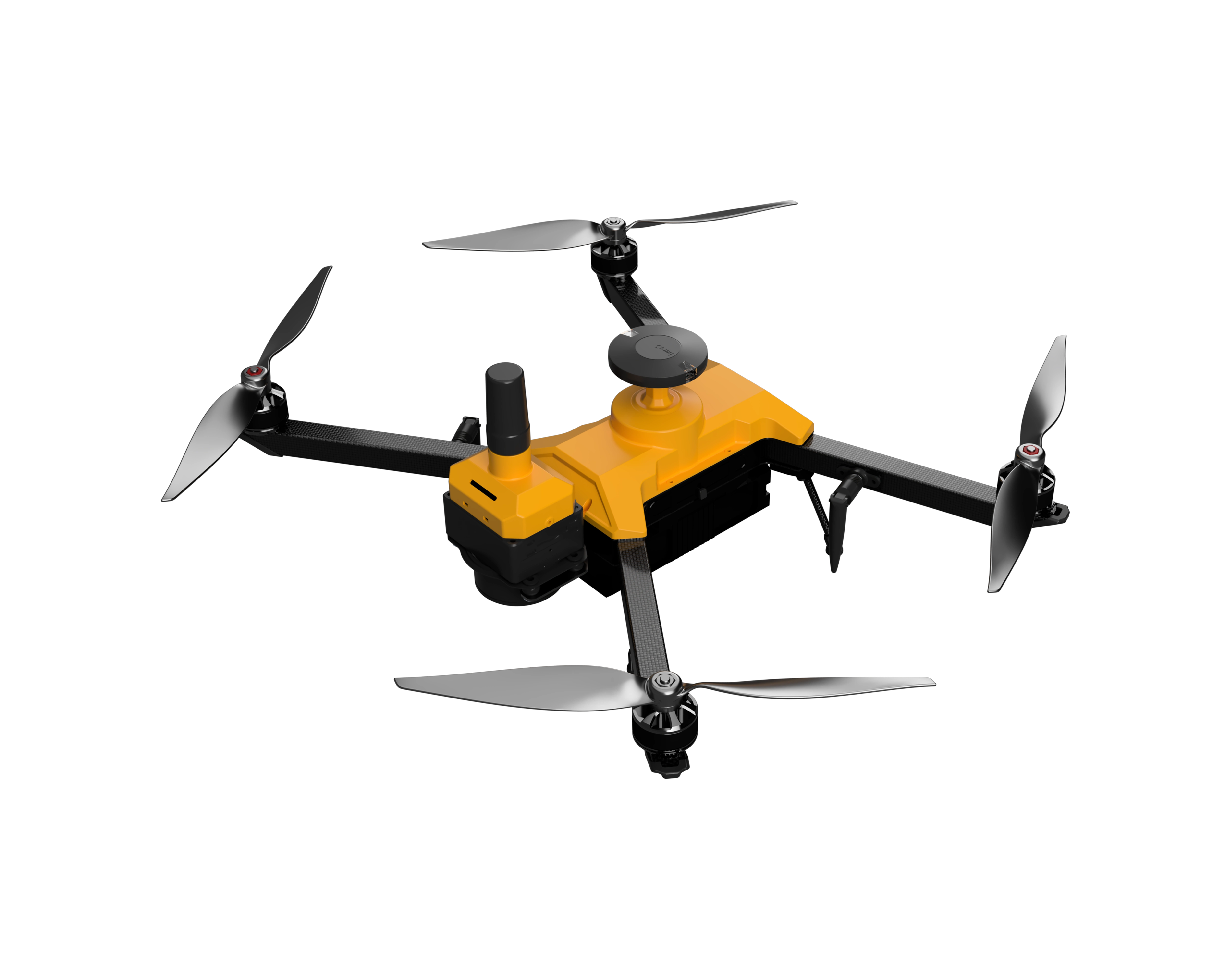
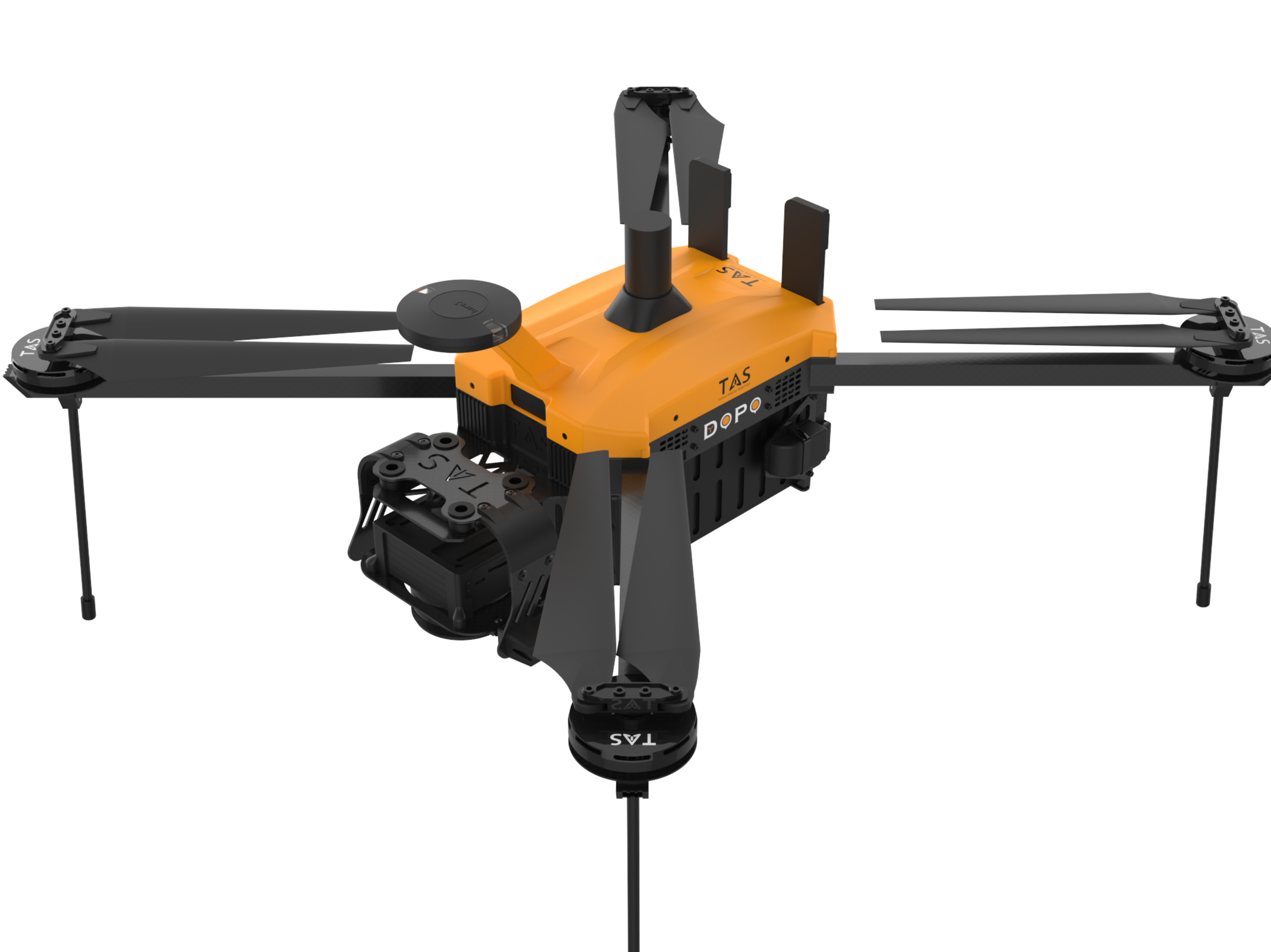
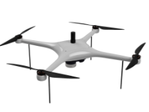
SNAP M
Survey of India qualified PPK drone for high precision aerial mapping. Industry-leading flight time with maximum possible area coverage. Superior mapping accuracy with indigenous dual-frequency RTK/PPK system.
 Sold byCDSpace Robotics Private Limited Bangalore Urban
- Max take-off weight
- 2.7 kg
- Flight time
- 50 min
- Operating range
- 4 km
Price
Price on request
Ask for a quote for your quantity and delivery location.
- Free
- No account
- Direct reply
About this product
Survey of India qualified PPK drone for high precision aerial mapping. Industry-leading flight time with maximum possible area coverage. Superior mapping accuracy with indigenous dual-frequency RTK/PPK system.
Key features
- DGCA Type certified
- SoI Empaneled
- Covers 1.5 Sq Km in one flight
- Easy to handle
Specifications
5 of 6 published by the vendor. “Ask the vendor” means the brochure does not say.
General
- Airframe type
- Ask the vendor
- Max take-off weight (MTOW)
- 2.7 kg
Flight
- Flight time (endurance)
- 50 min
- Operating range
- 4 km
- Maximum speed
- 10 km/h
- Max operating altitude (AGL)
- 120 m
Need a spec that isn't listed?
CDSpace Robotics Private Limited
Bangalore Urban
CDSpace is building next generation of Drones for efficient, reliable and sustainable mapping & Surveillance applications.
SNAP M
Price on request