 1 / 2
Athera
India's first Spatial AI autonomous drone with LiDAR and 8-camera vision for GPS-denied navigation. 5 cm position accuracy.
 Sold byVecros Technologies
- Airframe type
- Multirotor
- Max take-off weight
- 1.5 kg
- Flight time
- 20 min
- Operating range
- 4 km
Price
Price on request
Ask for a quote for your quantity and delivery location.
- Free
- No account
- Direct reply
Where to buy
About this product
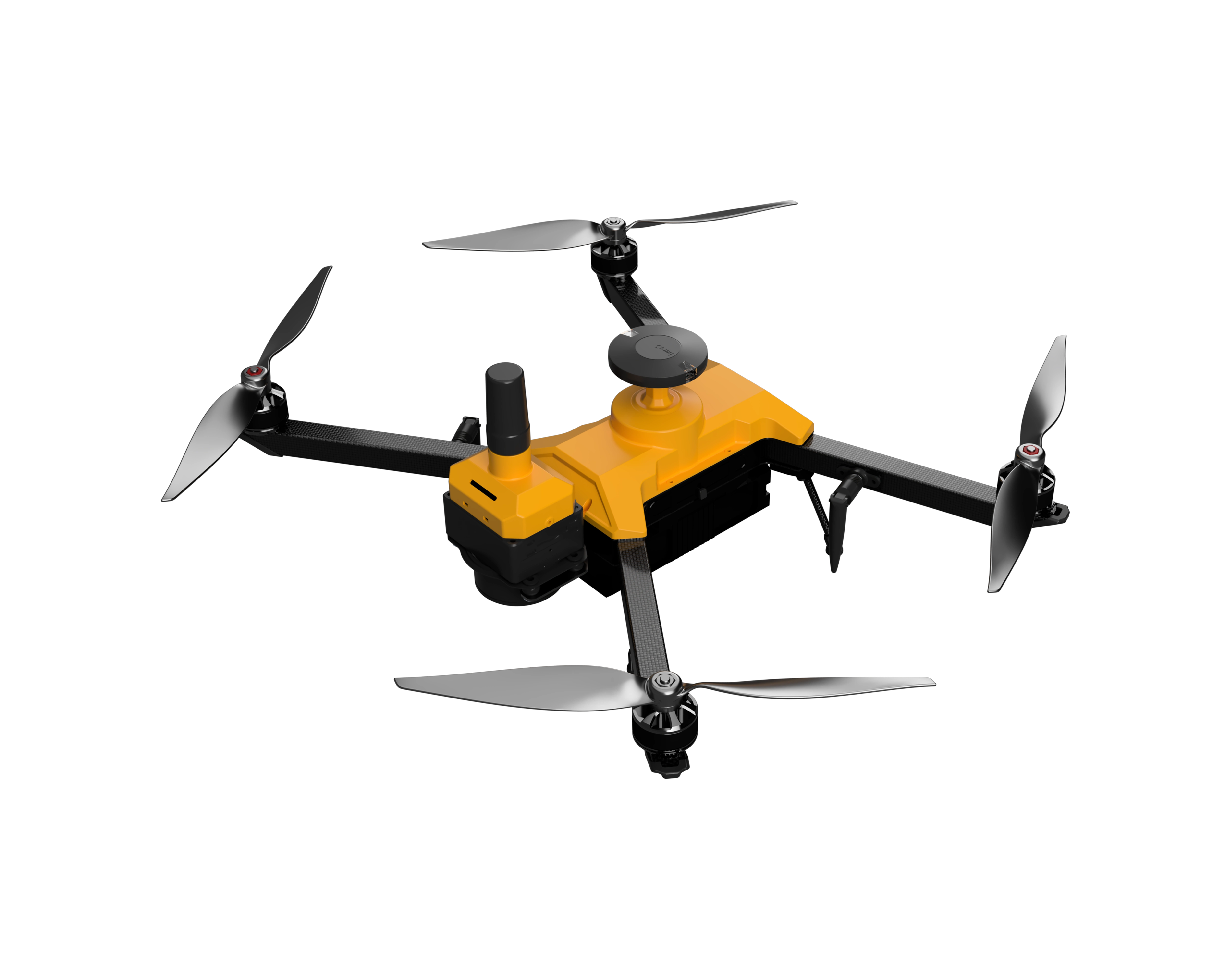
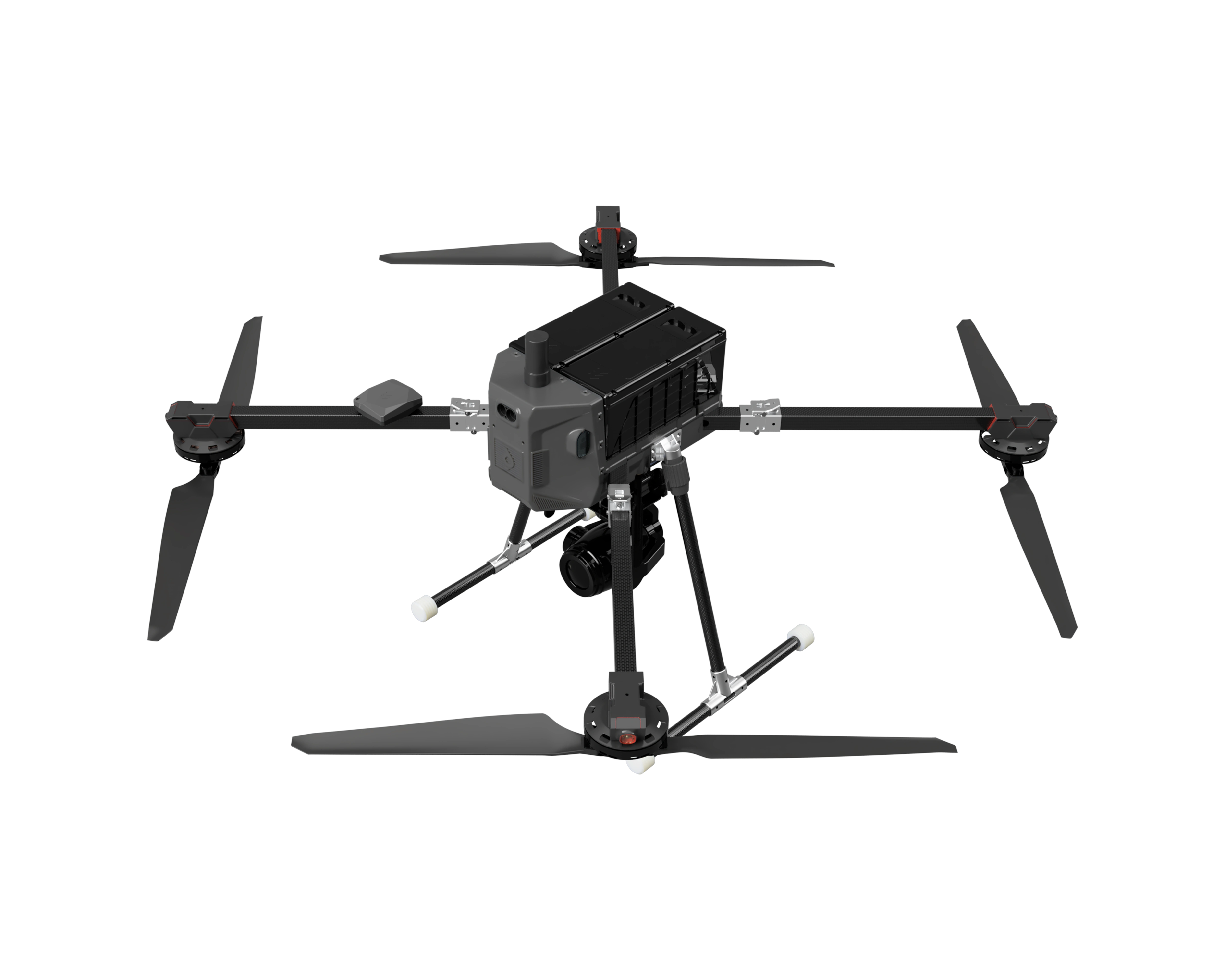
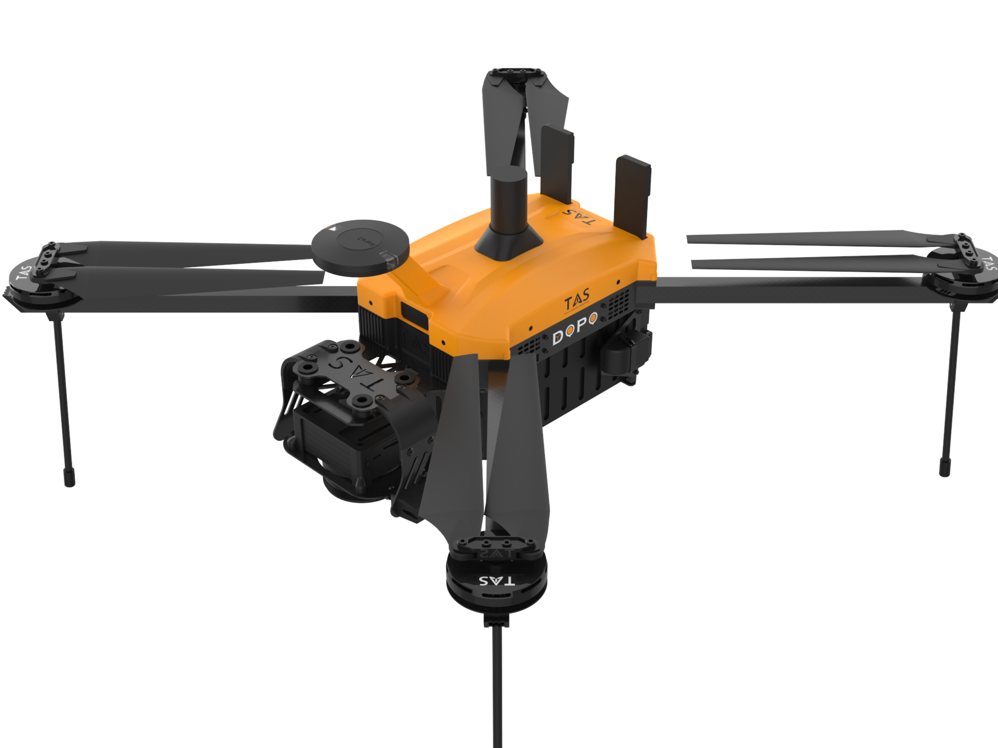
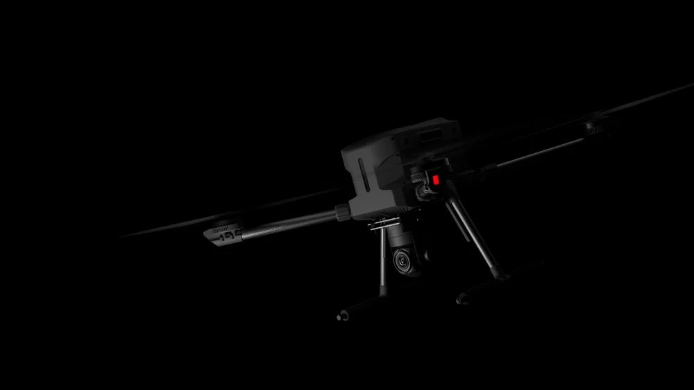
The Athera is India's first Spatial AI-powered autonomous drone developed by Vecros Technologies for industrial applications. Using 8 high-resolution cameras, LiDAR sensors, and an onboard AI engine delivering 21 TOPS, the Athera navigates autonomously in GPS-denied environments. Built with a carbon-fiber frame in a 550 x 550 x 550 mm footprint and weighing up to 1.5 kg, it achieves 20-35 minute flight times with 5 cm position accuracy. The dual-swappable battery system enables rapid redeployment for inspection, construction monitoring, warehouse operations, and defence ISR missions.
Key features
- GPS-independent navigation using proprietary spatial AI
- 360 degree obstacle sensing with 8 cameras plus LiDAR
- 21 TOPS onboard AI processing
- 5 cm position accuracy
- Dual-swappable battery system for 5-minute redeployment
- Operates indoors, underground, and in signal-denied environments
- Real-time cloud data transmission via Wi-Fi
- Carbon-fiber airframe with 2 kg payload class positioning
Specifications
14 of 14 published by the vendor. “Ask the vendor” means the brochure does not say.
General
- Airframe type
- Multirotor
- Max take-off weight (MTOW)
- 1.5 kg
- DGCA weight class
- Micro
- Number of rotors
- 4
- Dimensions (L × W × H)
- 550x550x550
Flight
- Flight time (endurance)
- 20 min
- Operating range
- 4 km
Navigation
- Navigation & positioning
- GPS, GLONASS
- Autopilot / firmware
- Proprietary
- Obstacle avoidance
- AI-based
Power
- Power source
- Electric
Mapping
- Camera resolution
- 12 MP
Other
- Gimbal stabilisation axes
- 3-axis
- Max video resolution
- 4K
Athera
Price on request