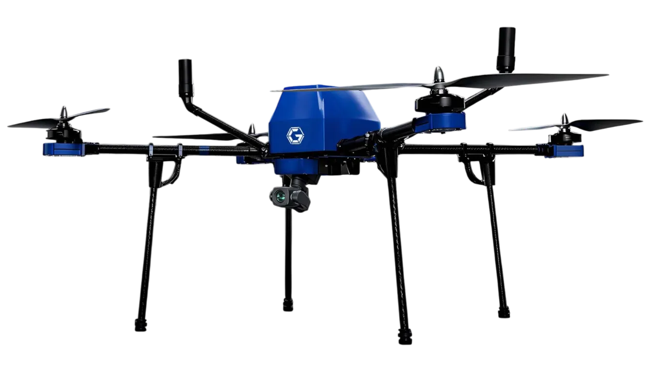
2D Mapping Drone
Model GA-IN-2D
4 kg quadcopter for orthomosaic survey mapping with RGB camera, RTK/PPK positioning and obstacle sensors; 40 min tested endurance.
 Sold byGaruda Aerospace Chennai
- Airframe type
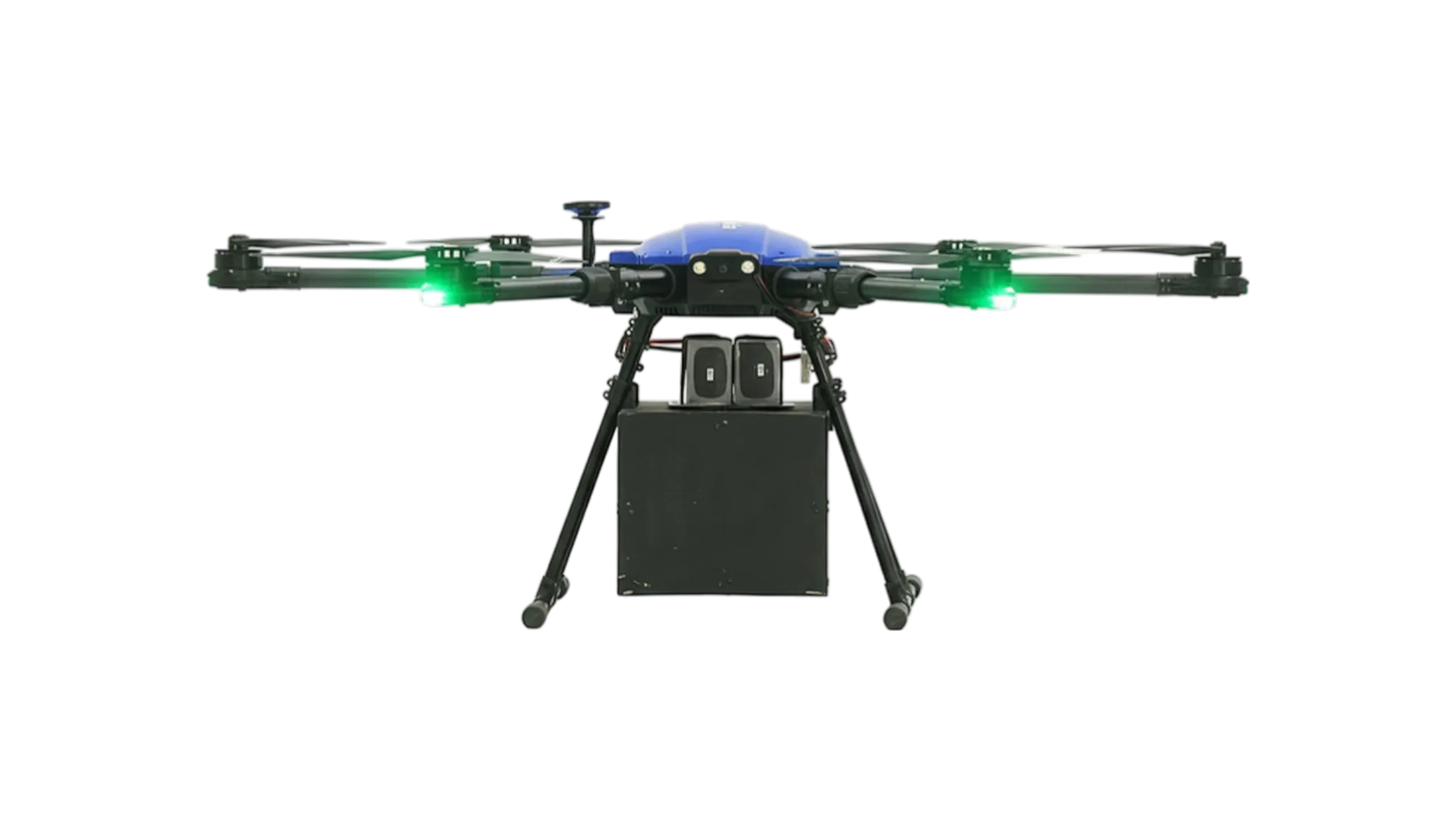
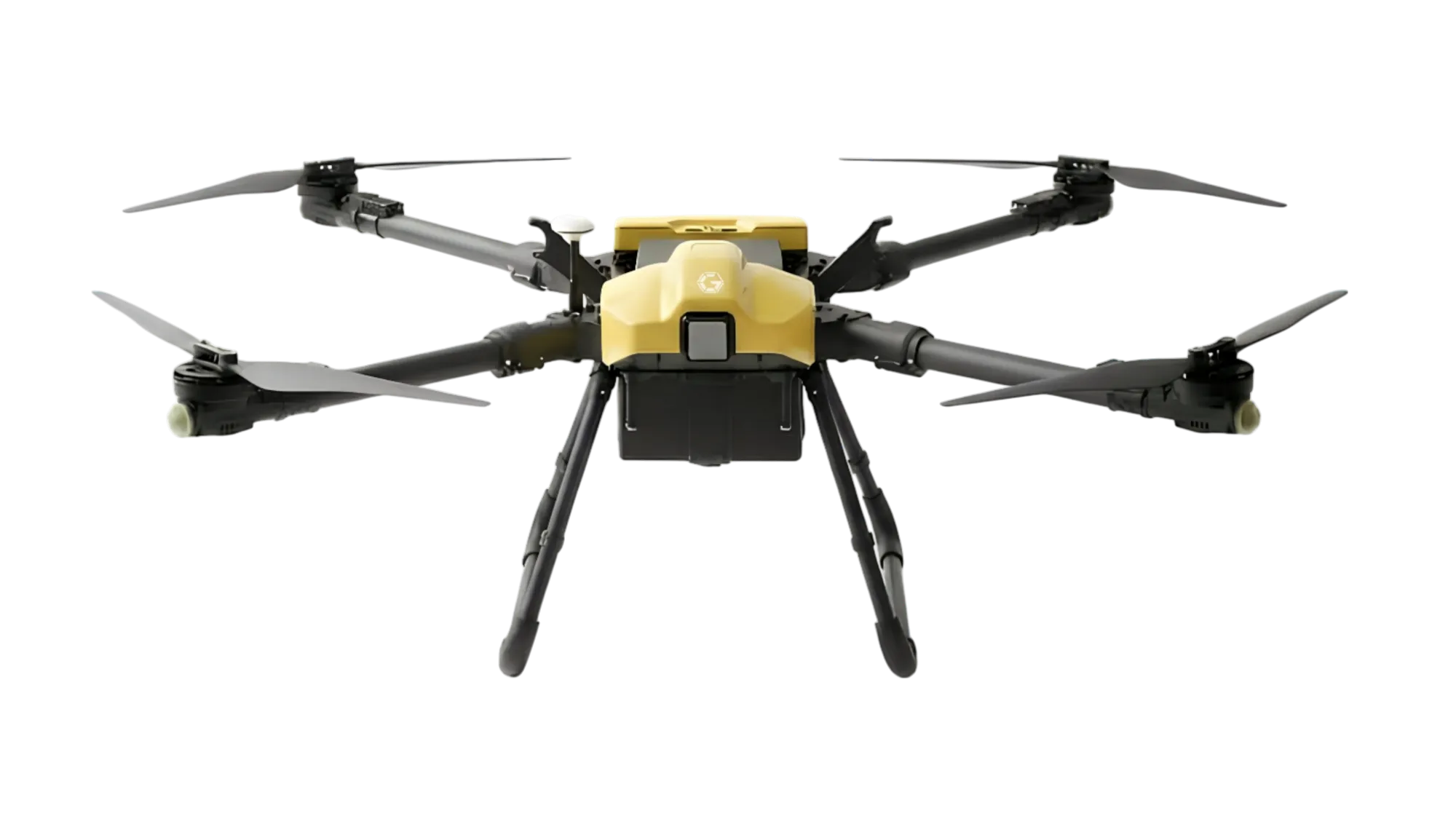
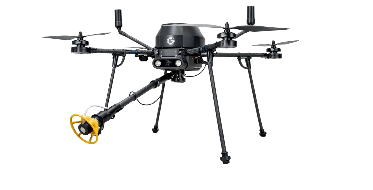
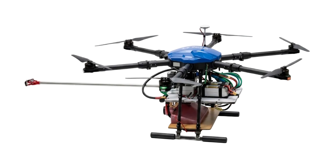
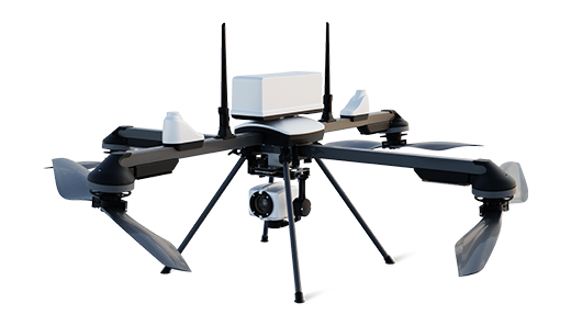
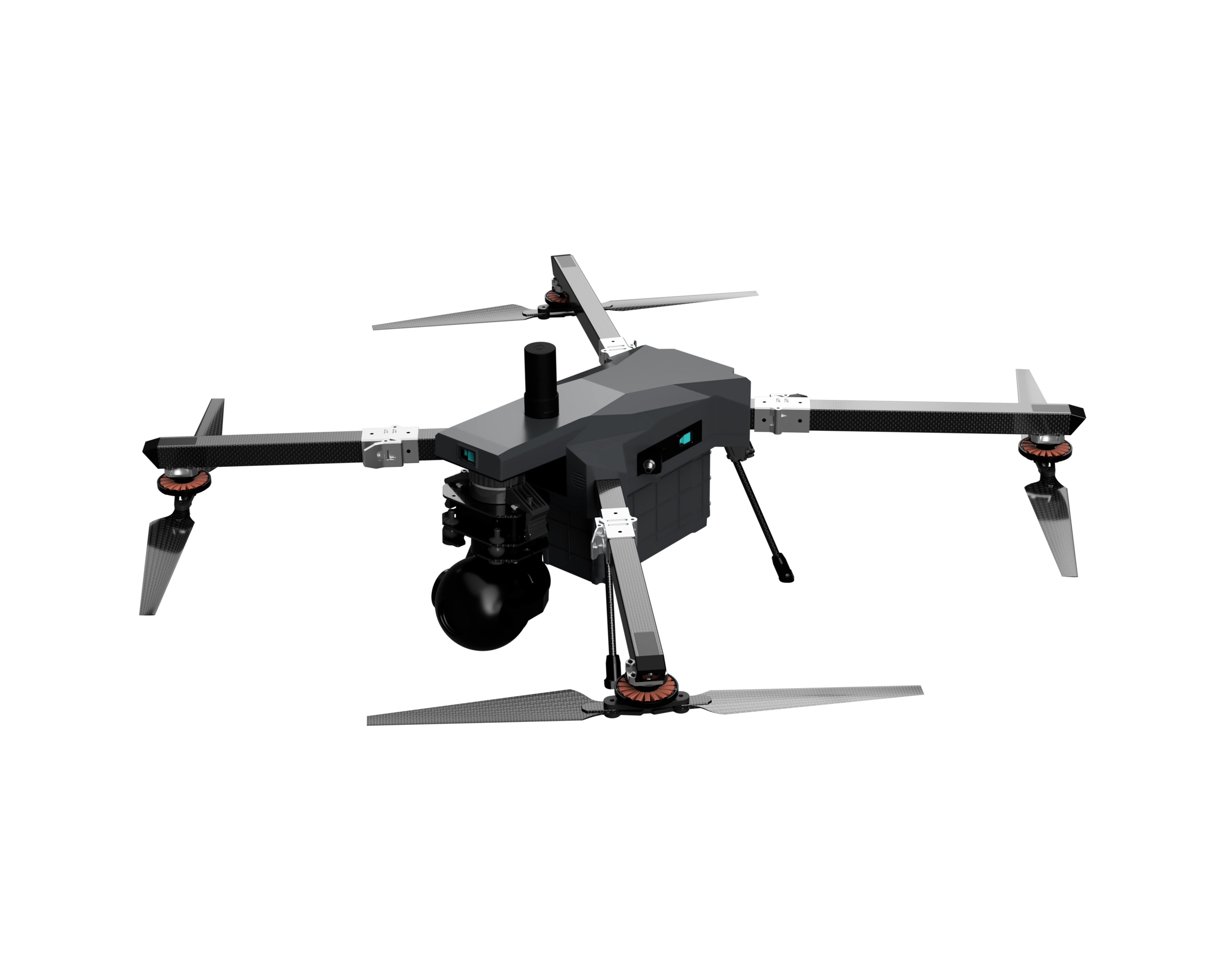
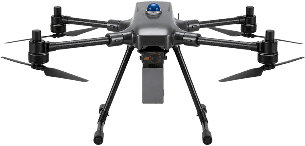
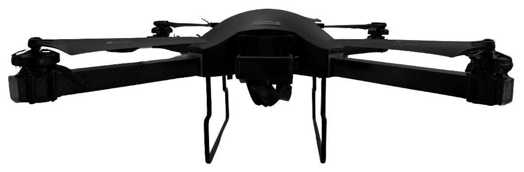
- quadcopter (product photo, four rotors)
- Max take-off weight
- Gross Weight (kg) 4 kg
- Flight time
- Tested Endurance 40 mins
- Operating range
- Rated Range 5 km
- Payload capacity
- Rated Payload (g) 200 grms
- RTK / PPK
- Supports survey-grade mapping accuracy utilising RTK / PPK technology
Price
Price on request
Ask for a quote for your quantity and delivery location.
- Free
- No account
- Vendor replies
Where to buy
Not sold online yet. Ask Garuda Aerospace for a quote, delivery and dealers near you with “Get a quote” above.
About this product
Garuda Aerospace's 2D Mapping Drone (GA-IN-2D) is a survey platform for producing orthomosaic maps and terrain models on construction, mining, smart-city and infrastructure projects. The quadcopter weighs 4 kg gross and carries a 200 g RGB camera payload, with RTK/PPK positioning for survey-grade geotagging. Garuda lists 40 minutes of tested endurance, a 5 km rated range, a 10 m/s rated speed and a 120 m operating altitude. Missions are planned and flown autonomously by waypoints, and obstacle sensors are fitted for flight safety. The airframe measures 510 x 490 x 210 mm and is described as portable for field crews. Garuda does not publish a DGCA type certificate for this model, so buyers should confirm certification status before commercial use.
Specifications
12 of 12 published by the vendor. “Ask the vendor” means the brochure does not say.
General
- Airframe type
- quadcopter (product photo, four rotors)
- Max take-off weight (MTOW)
- Gross Weight (kg) 4 kg
- Dimensions (L × W × H)
- 510 × 490 × 210 mm
Flight
- Flight time (endurance)
- Tested Endurance 40 mins
- Operating range
- Rated Range 5 km
- Maximum speed
- Rated Speed 10 m/s
- Max operating altitude (AGL)
- Operating Altitude 120 m
Navigation
- Navigation & positioning
- RTK / PPK technology; PPK Navigation System
- Obstacle avoidance
- Obstacle detection and avoidance sensors
Payload
- Payload capacity
- Rated Payload (g) 200 grms
- Included payload / camera
- RGB Camera
Mapping
- RTK / PPK
- Supports survey-grade mapping accuracy utilising RTK / PPK technology
Garuda Aerospace
Chennai
Drone solutions for agriculture, defense, logistics, infrastructure, inspection, mapping, and pilot training.
More details
- Made in
- India
2D Mapping Drone
Price on request