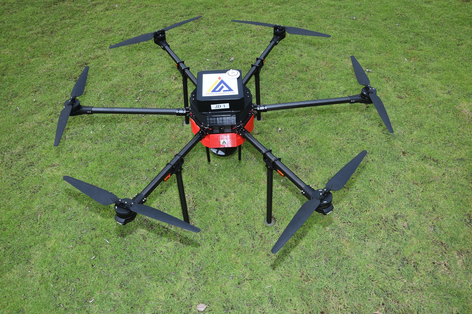
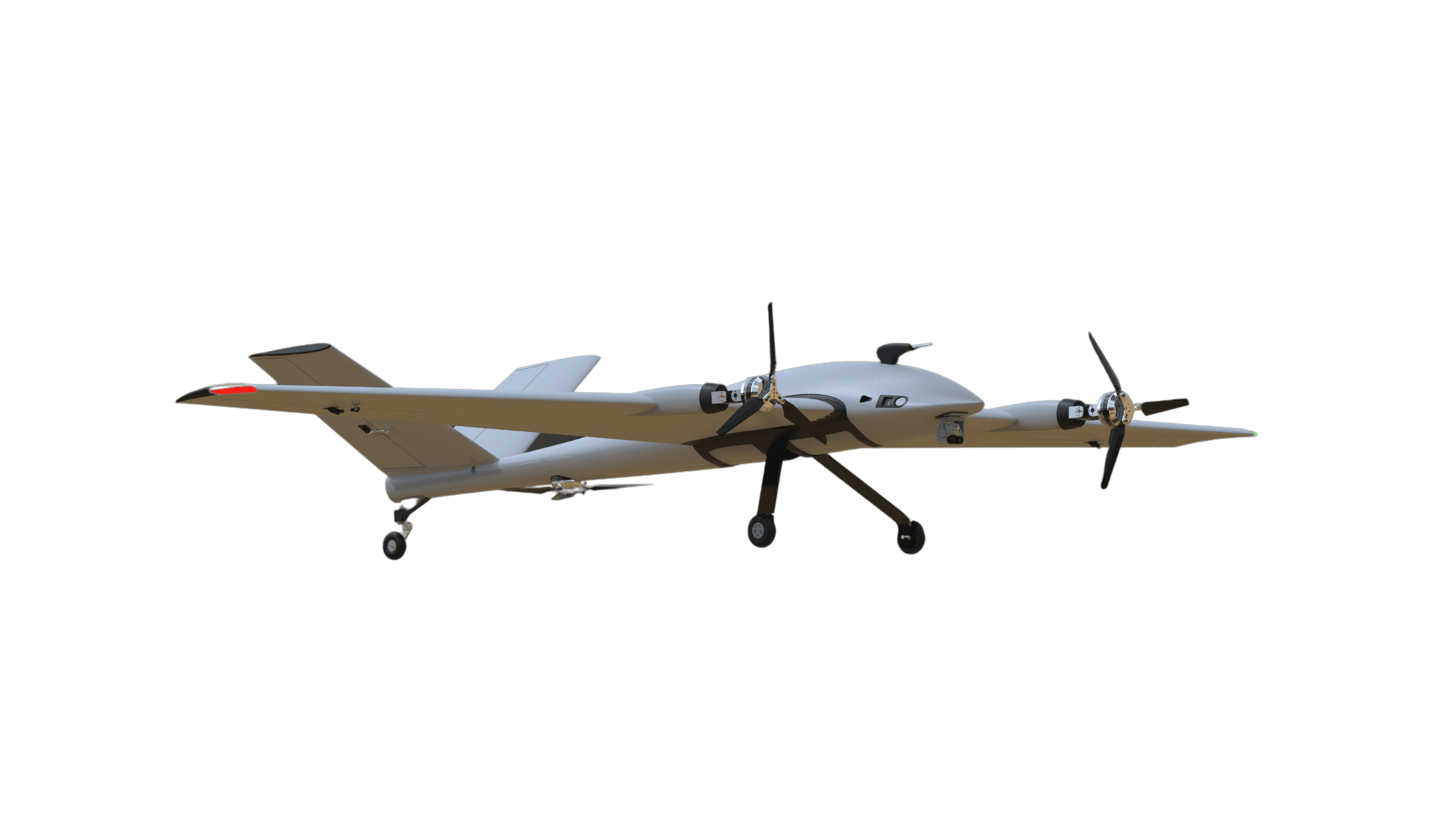
ideaForge NETRA V4+ UAV
Model NETRA V4+
Man-portable VTOL quadcopter for surveillance and mapping: 60 min endurance, 5 km live video link, swappable day, thermal and 20 MP mapping payloads.
- Airframe type
- Autonomous Vertical Take-Off & Landing (VTOL); quadcopter in maker image
- Max take-off weight
- < 6 kg (UAV Weight with battery and max. payload)
- Flight time
- 60 minutes with Day payload (upto 1000m AMSL Take-Off); 50 minutes with Mapping payload; 30 minutes with Day payload at 6000m AMSL Take-Off
- Operating range
- 5 km (un-obstructed & interference free)
- Optical zoom
- Daylight HD (1280X720) with 10x optical zoom video payload
- Thermal resolution
- Thermal 640X480 video payload (Optional)
Price
Price on request
Ask for a quote for your quantity and delivery location.
- Free
- No account
- Vendor replies
Where to buy
Not sold online yet. Ask IdeaForge for a quote, delivery and dealers near you with “Get a quote” above.
About this product
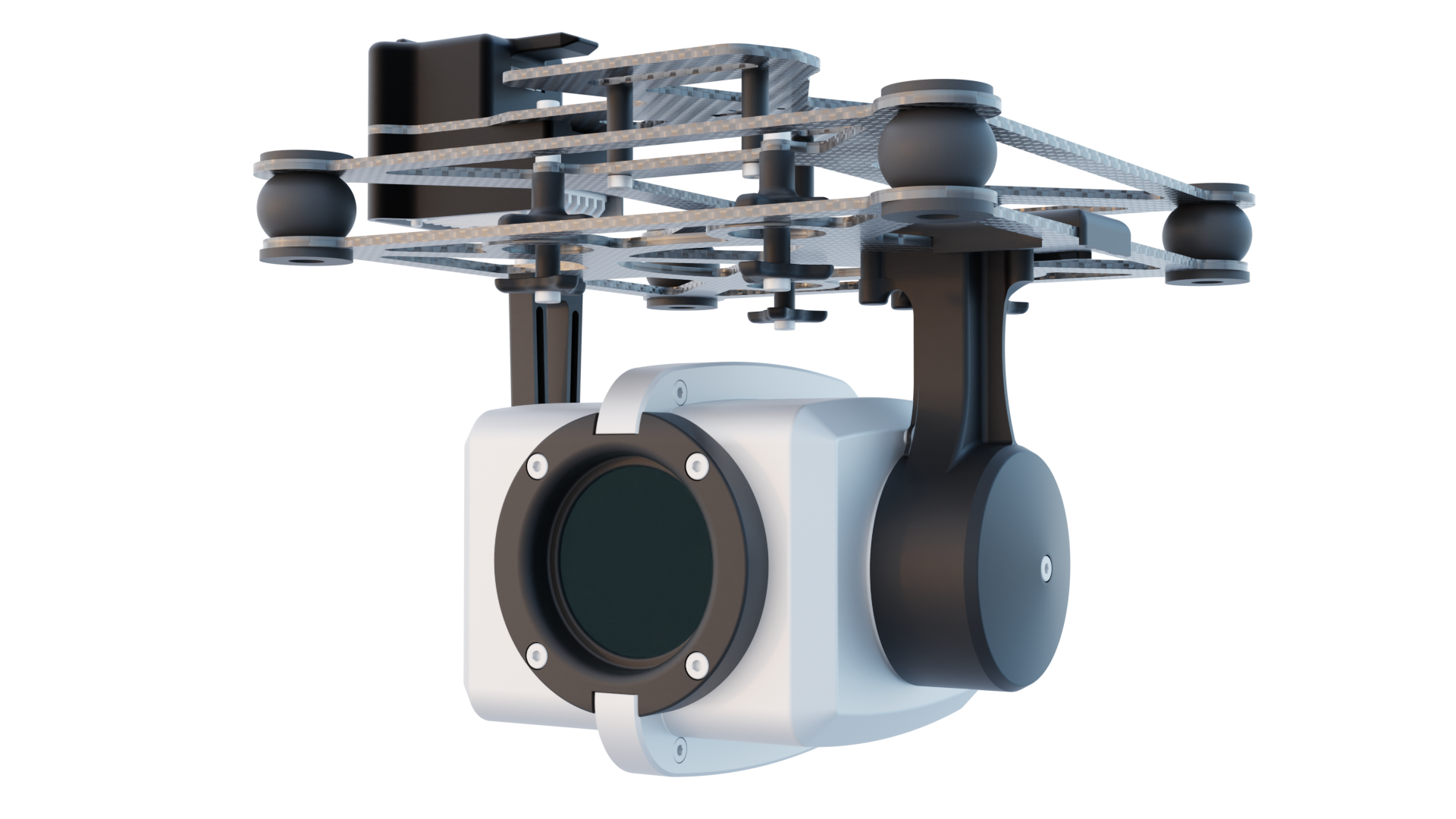
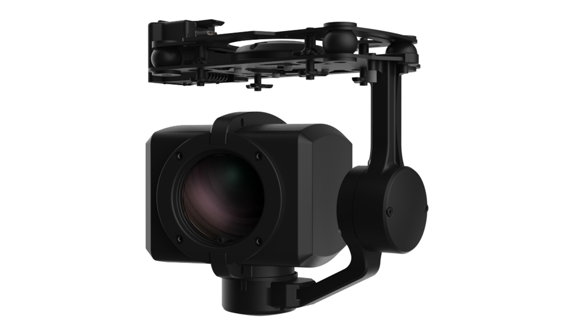
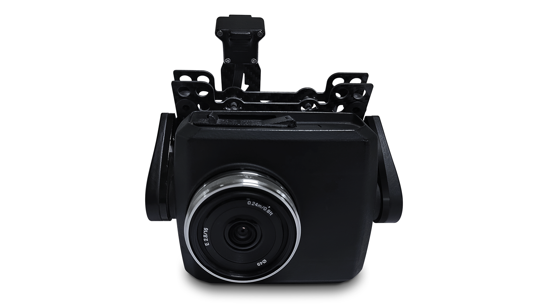
NETRA V4+ is a portable VTOL quadcopter from ideaForge for patrolling, search and rescue, disaster assessment and mapping. The specification table gives a take-off weight under 6 kg with battery and payload, a size under 1.5 x 1.5 m and 60 minutes of endurance with the day payload (50 minutes with the mapping payload, 30 minutes when launched at 6000 m AMSL). Live video range is 5 km line of sight, cruise speed 10 m/s and wind resistance up to 10 m/s. Payloads swap in under 5 minutes: a 10x zoom HD day camera, 320x240 or 640x480 thermal cameras, or a 20 MP PPK mapping camera. The datalink is AES-128 encrypted on 2.4 or 5 GHz, and the aircraft is flown from BlueFire Touch software.
Specifications
20 of 20 published by the vendor. “Ask the vendor” means the brochure does not say.
General
- Airframe type
- Autonomous Vertical Take-Off & Landing (VTOL); quadcopter in maker image
- Max take-off weight (MTOW)
- < 6 kg (UAV Weight with battery and max. payload)
- Number of rotors
- quadcopter (four rotors) in maker product image
- Dimensions (L × W × H)
- < 1.5m x 1.5m
Datalink
- Datalink frequency bands
- 2.4GHz or 5GHz (depending on application)
- Encrypted datalink
- Secure Communication link between UAV and GCS with 128-bit AES encryption
Flight
- Flight time (endurance)
- 60 minutes with Day payload (upto 1000m AMSL Take-Off); 50 minutes with Mapping payload; 30 minutes with Day payload at 6000m AMSL Take-Off
- Operating range
- 5 km (un-obstructed & interference free)
- Cruise speed
- 10 m/s Typical Cruise Speed
- Wind resistance
- Upto 10m/s (36kmph or ~20knots)
- Service ceiling (AMSL)
- 6000m AMSL (Above Mean Sea Level)
- Max operating altitude (AGL)
- 500m AGL (Above Ground Level)
Navigation
- Navigation & positioning
- Multiple GPS on-board for redundancy; L1 & L2 PPK mapping payload
Operations
- Night operations
- Thermal 640X480 / 320X240 video payload (Optional)
- Deployment / setup time
- < 10 minutes
Power
- Power source
- Battery Powered Electric Propulsion
Environment
- Operating temperature
- -10°C to +55°C
Camera
- Optical zoom
- Daylight HD (1280X720) with 10x optical zoom video payload
- Thermal resolution
- Thermal 640X480 video payload (Optional)
- Camera resolution
- Mapping payload (Optional) 20 MP Photogrammetry payload
More details
- Made in
- India
ideaForge NETRA V4+ UAV
Price on request