1 / 2
SKYX Drone-as-a-Service: Mapping, Survey and Geospatial
Drone survey and geospatial services: mapping, land and contour surveys, geotagging, digital twins, volumetrics and property tax mapping.
 Sold bySKYX Aerospace Coimbatore
- Service area
- Location: Namakkal, Tamil Nadu; Location: Coimbatore, Tamil Nadu; Location: Nilgiris, Tamil Nadu; Location: Chettipalayam, Coimbatore
Price
Price on request
Ask for a quote for your quantity and delivery location.
- Free
- No account
- Vendor replies
About this service
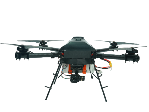
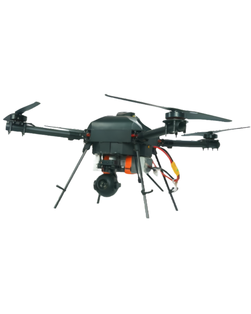
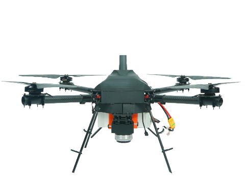
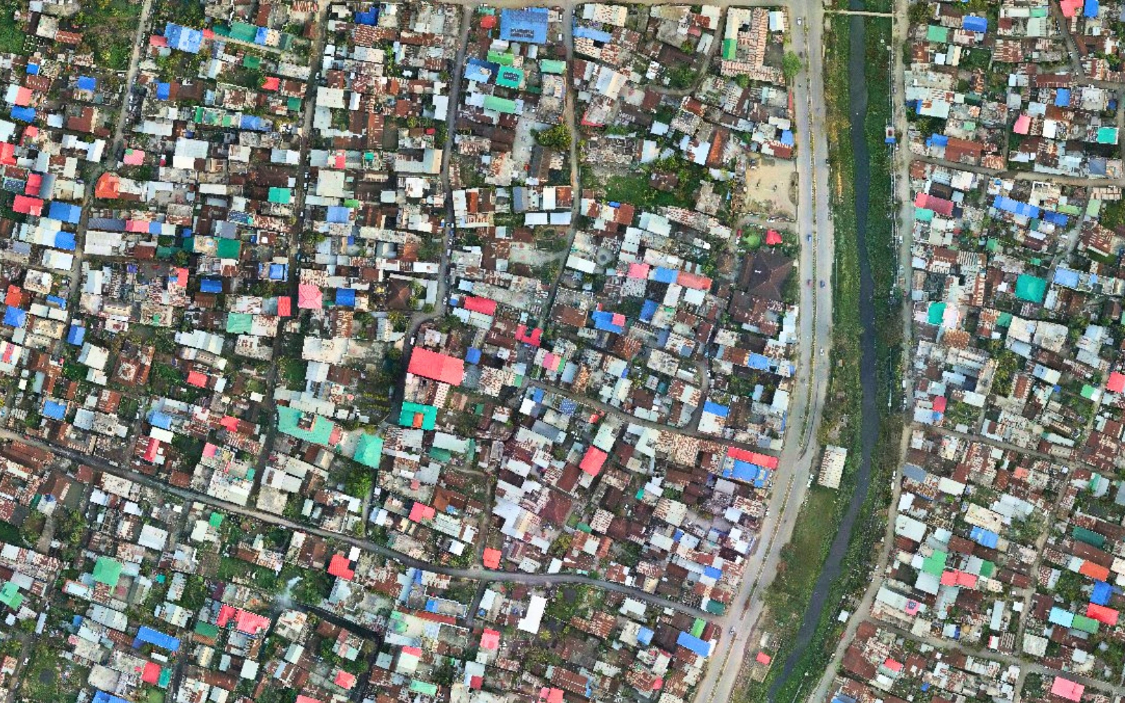
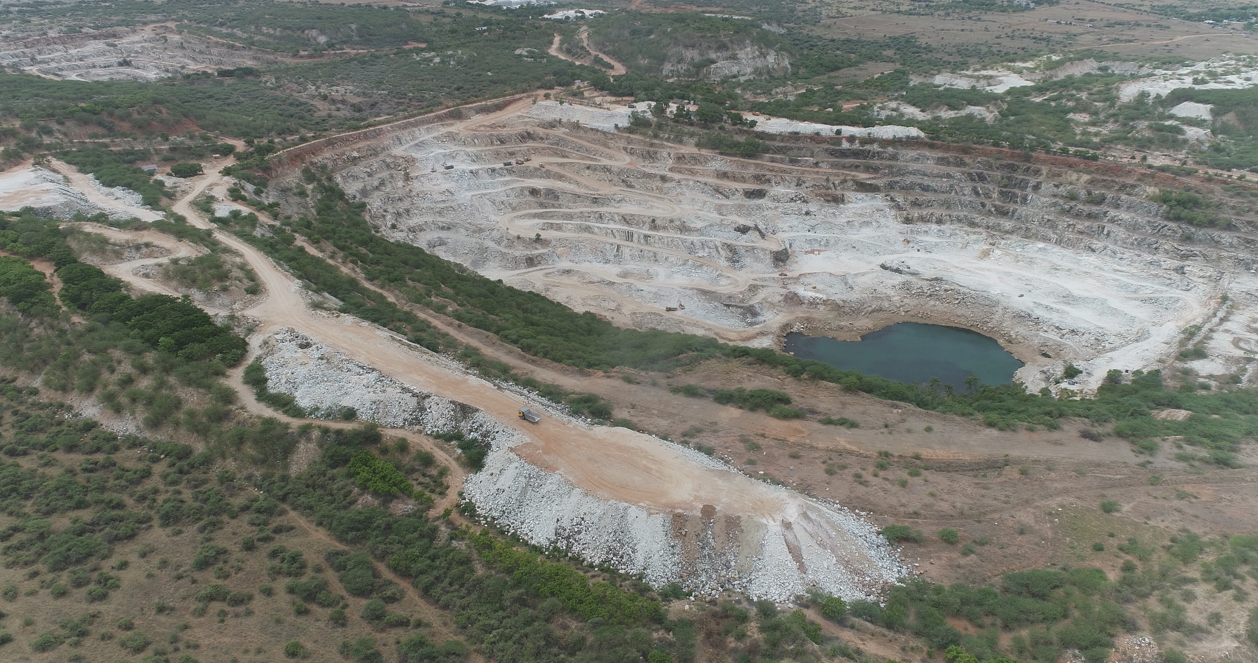
SKYX Aerospace runs a drone-as-a-service unit from Coimbatore for clients who need aerial data rather than their own aircraft. Listed services include mapping and land survey with 2D orthomosaics, 3D point clouds, contour surveys and elevation models; geotagging of assets such as power lines, pipelines and towers; town planning and urban development studies; digital twin creation; volumetric analysis of stockpiles, quarries and landfills; and drone mapping for municipal property tax assessment. The company also offers infrastructure and telecom tower inspection, wildlife monitoring and crop spraying through its solutions pages. Pricing is not published; projects are quoted on enquiry.
Specifications
3 of 3 published by the vendor. “Ask the vendor” means the brochure does not say.
Service
- Service area
- Location: Namakkal, Tamil Nadu; Location: Coimbatore, Tamil Nadu; Location: Nilgiris, Tamil Nadu; Location: Chettipalayam, Coimbatore
- Deliverables
- 2D Orthomosaic (3cm/px); 3D Sparse and Dense Cloud; Contour Survey and Elevation Model Creation
- Capabilities
- DaaS tab list
SKYX Aerospace
Coimbatore
Coimbatore maker of agricultural spraying, mapping and inspection drones, with drone survey services
More details
- Made in
- India
SKYX Drone-as-a-Service: Mapping, Survey and Geospatial
Price on request