 1 / 2
Indrones Drone Survey & Mapping Services
Model Survey & Mapping (C-01)
End-to-end drone survey and mapping by Indrones: orthomosaics, DSM/DTM and 3D models for sites, cities and districts; 58,000+ sq km mapped.
 Sold byINDRONES SOLUTIONS PRIVATE LIMITED Vashi
- Service area
- Large-scale aerial mapping across 25+ states in India
Price
Price on request
Ask for a quote for your quantity and delivery location.
- Free
- No account
- Vendor replies
About this service
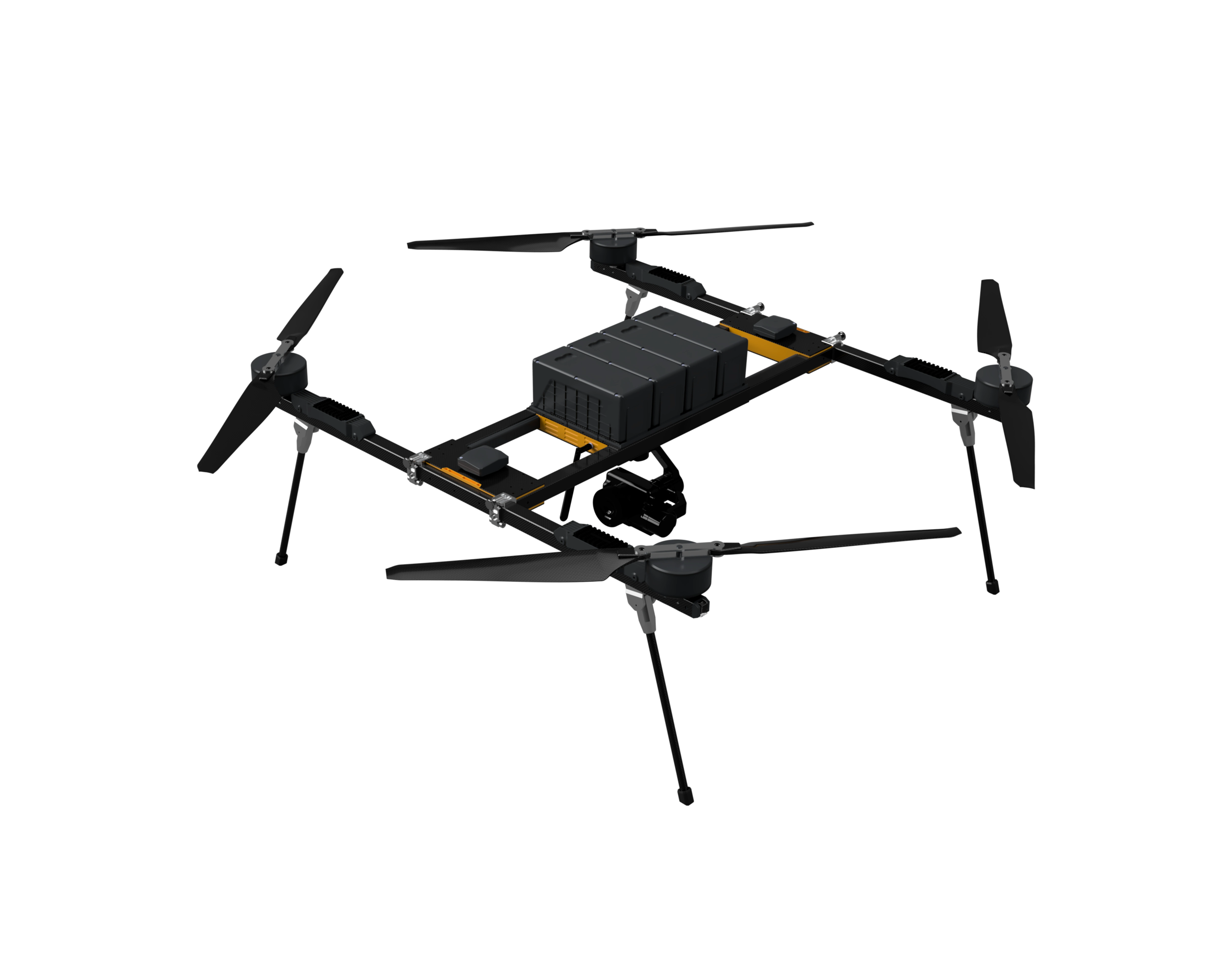
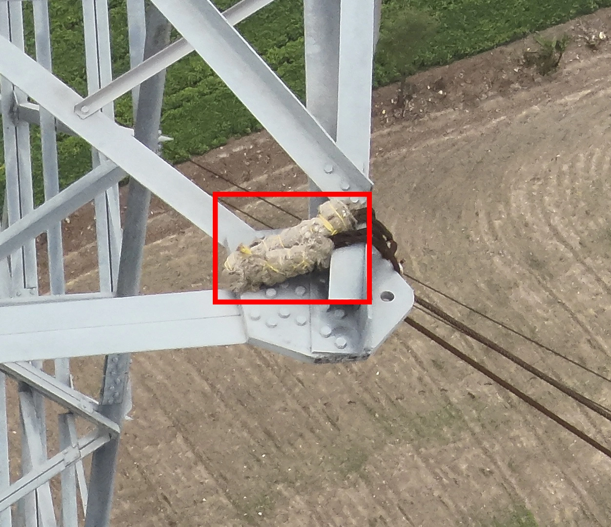
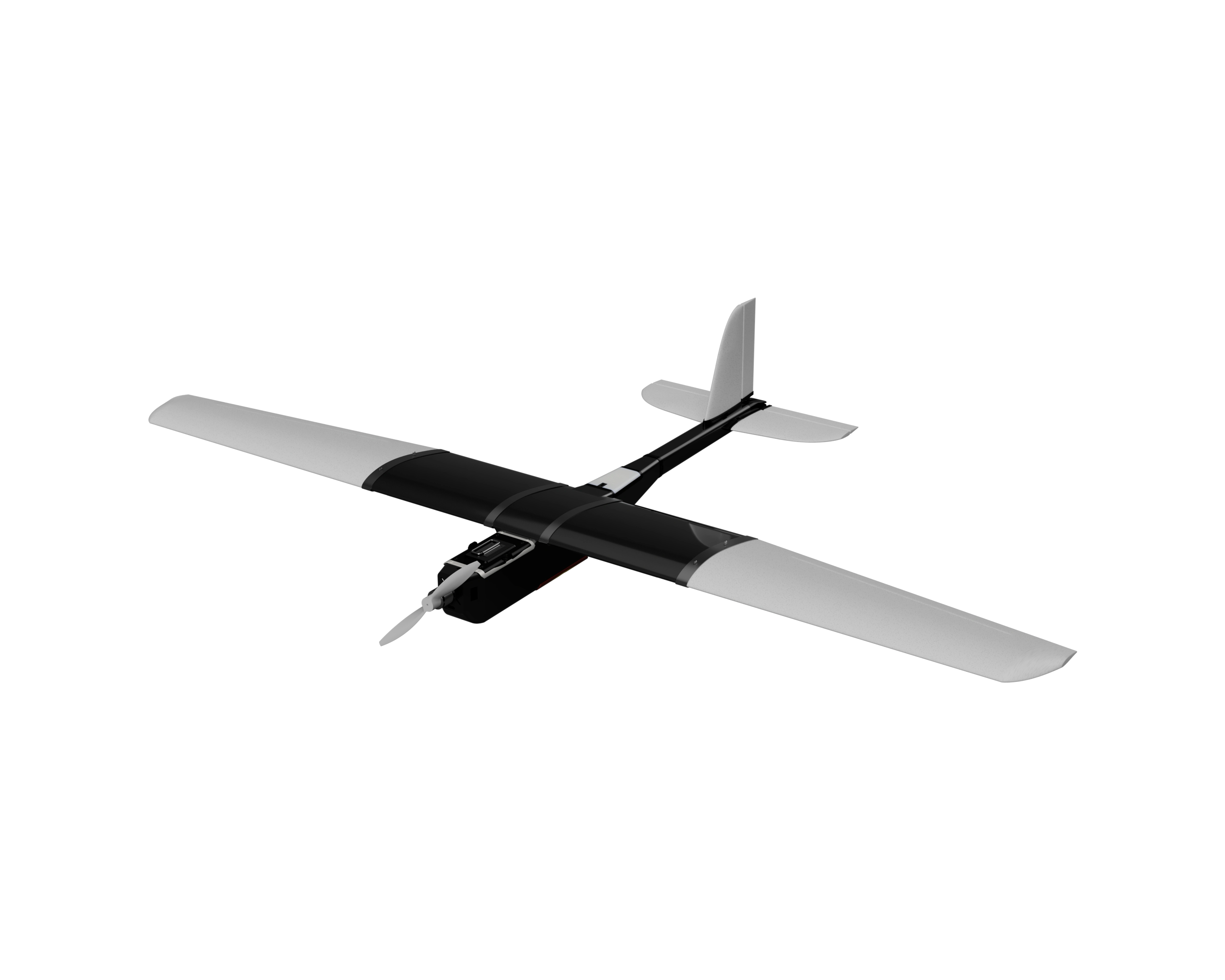
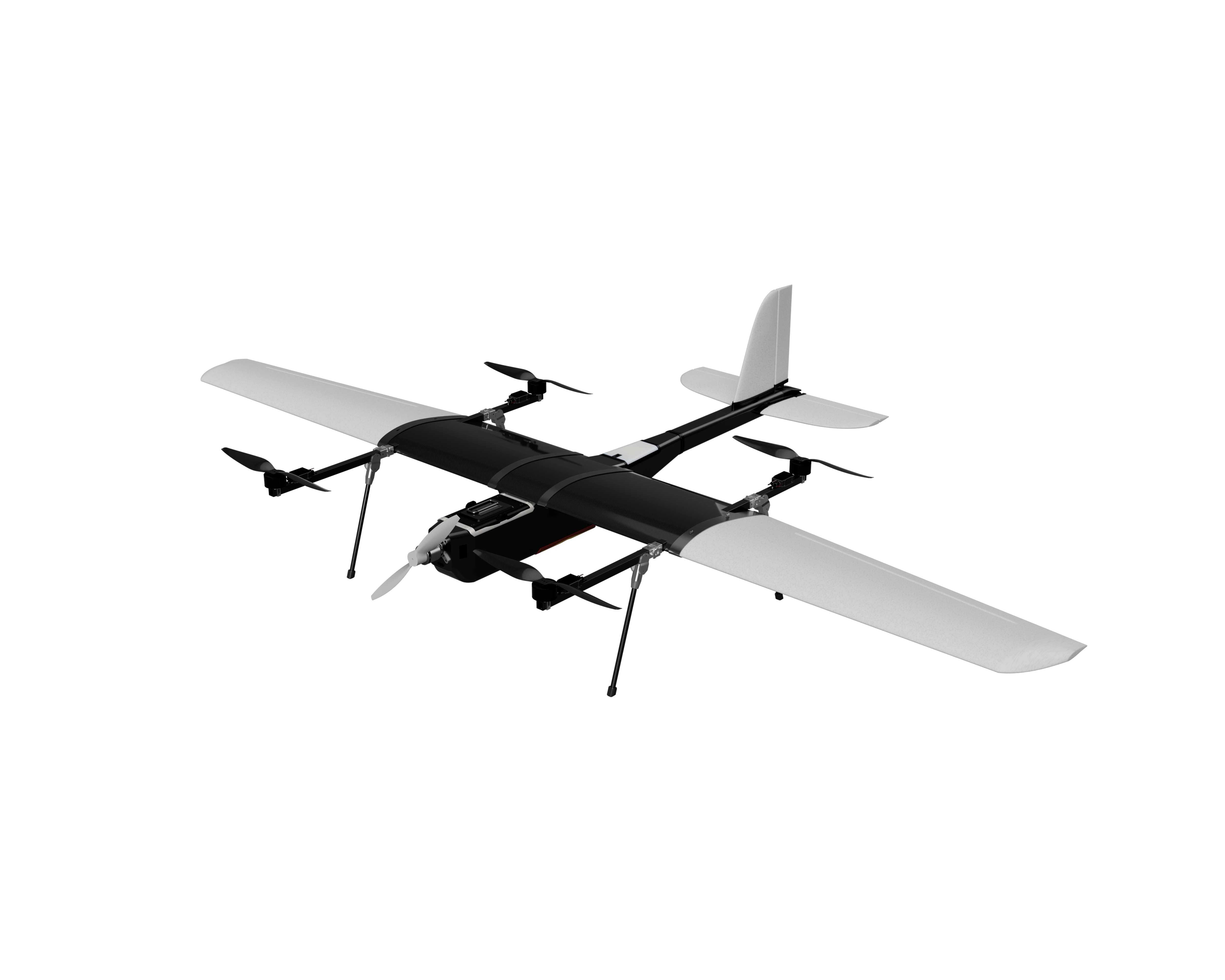
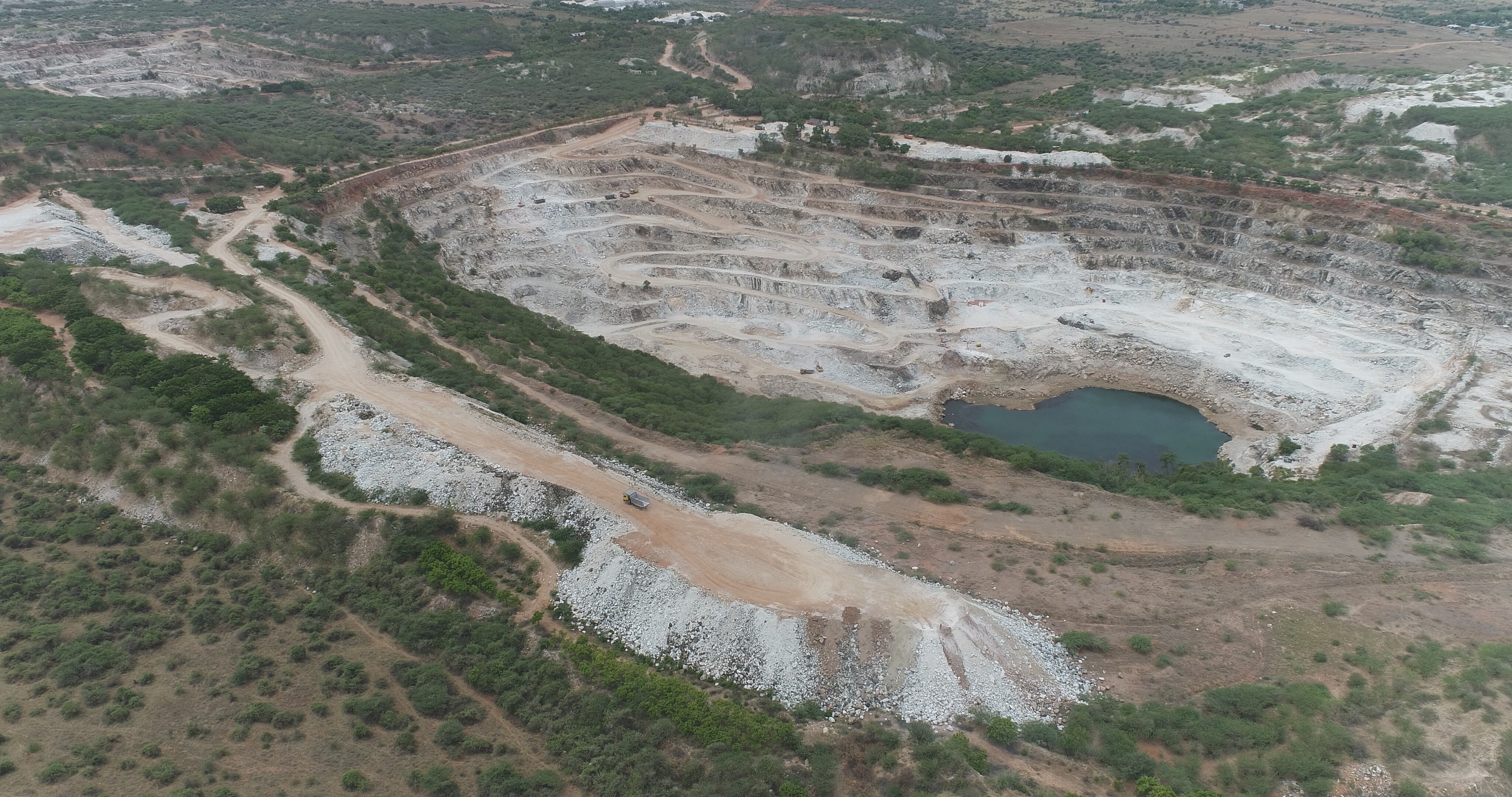
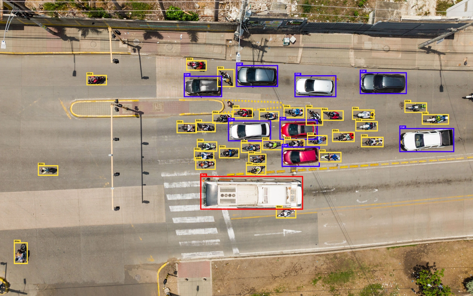
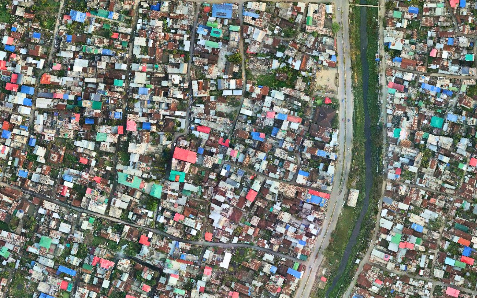
Indrones runs drone survey and mapping projects end to end, from flight planning and data capture to processing and delivery of GIS-ready outputs. Deliverables listed by the company are orthomosaics, digital surface and terrain models (DSM/DTM) and 3D models, at scales from a single site up to cities and districts, for planning, design, progress tracking and volumetrics. The company reports more than 58,000 sq km mapped, 19,000 linear km surveyed and over 165 projects, including multi-state mapping across 25+ Indian states and stockpile surveys for mining clients.
Specifications
3 of 3 published by the vendor. “Ask the vendor” means the brochure does not say.
Service
- Service area
- Large-scale aerial mapping across 25+ states in India
- Deliverables
- Output: Orthomosaic / DSM / DTM / 3D model
- Capabilities
- Scale Site-Cities-District; Application Planning / Design / Progress / Volumetrics; 58,000+ SQ KM Mapped
INDRONES SOLUTIONS PRIVATE LIMITED
Vashi
Indrones is one of the leading drone manufacturers & a cutting-edge drone service provider in India, offering digital s…
More details
- Made in
- India
Indrones Drone Survey & Mapping Services
Price on request