1 / 2
Spectra Drone Analytics Platform
Cloud platform that turns drone survey data into 2D/3D site models and AI analytics for mining, solar, transport, utilities and agriculture.
- Deployment
- all on the cloud
- Platforms
- Anywhere. Anytime. (browser platform, 'Enter Spectra')
Price
Price on request
Ask for a quote for your quantity and delivery location.
- Free
- No account
- Direct reply
About this software
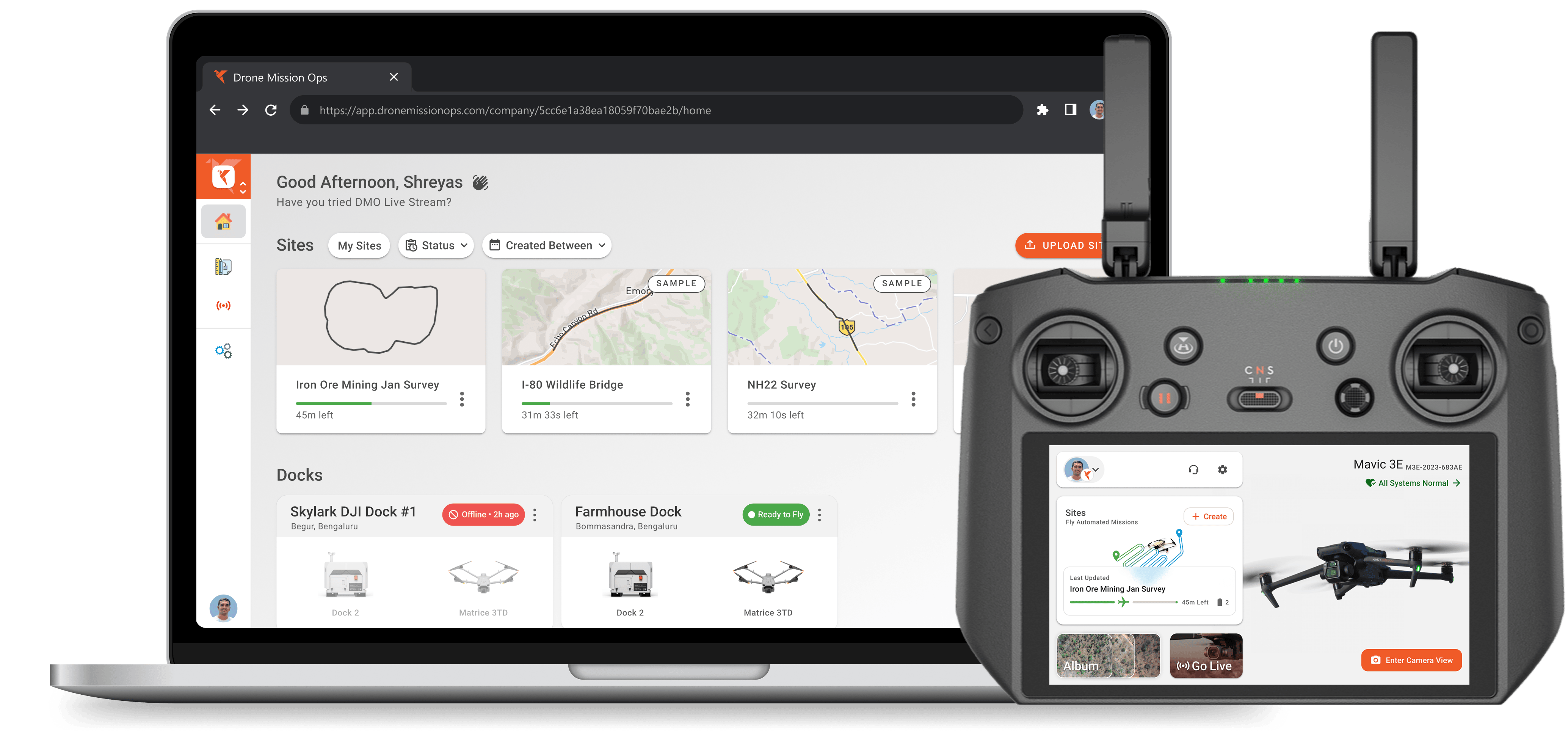
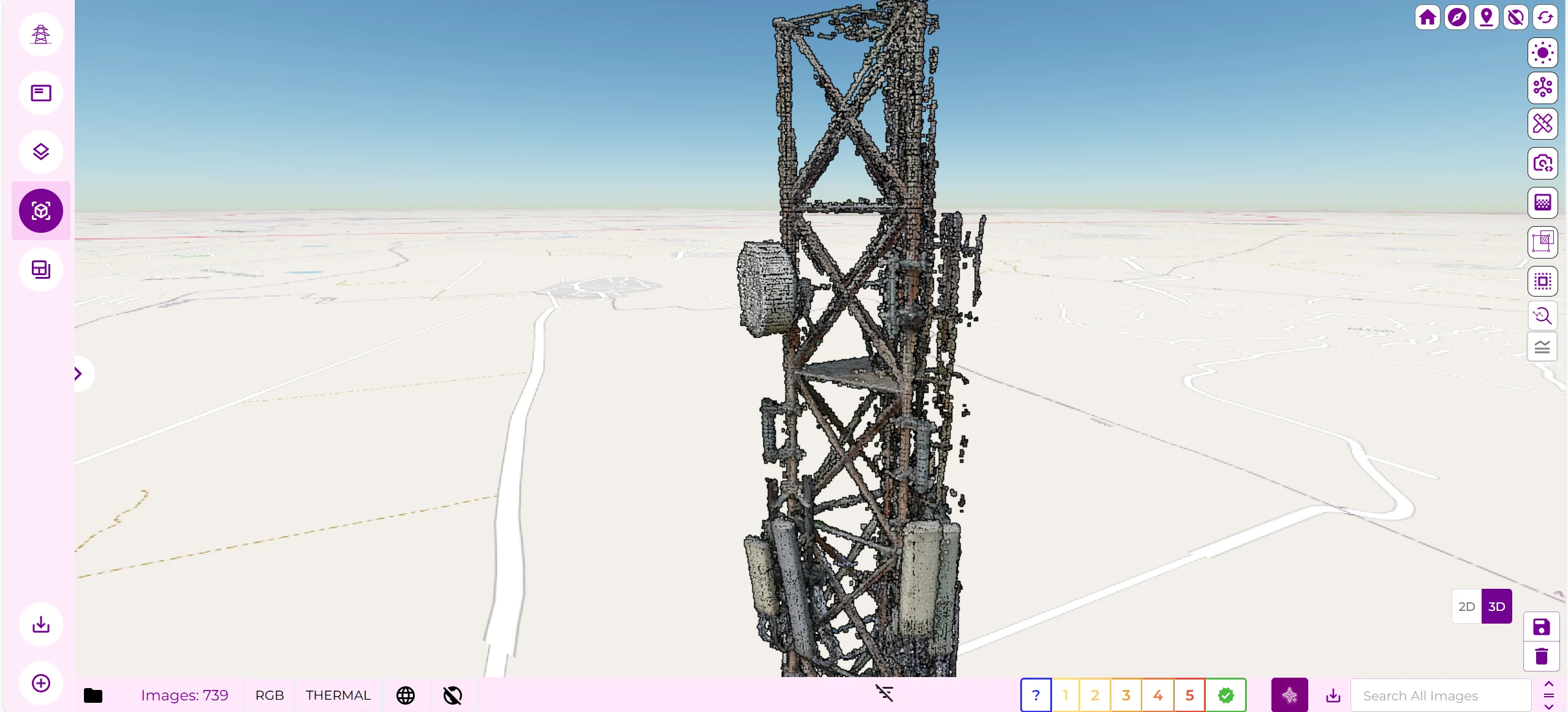
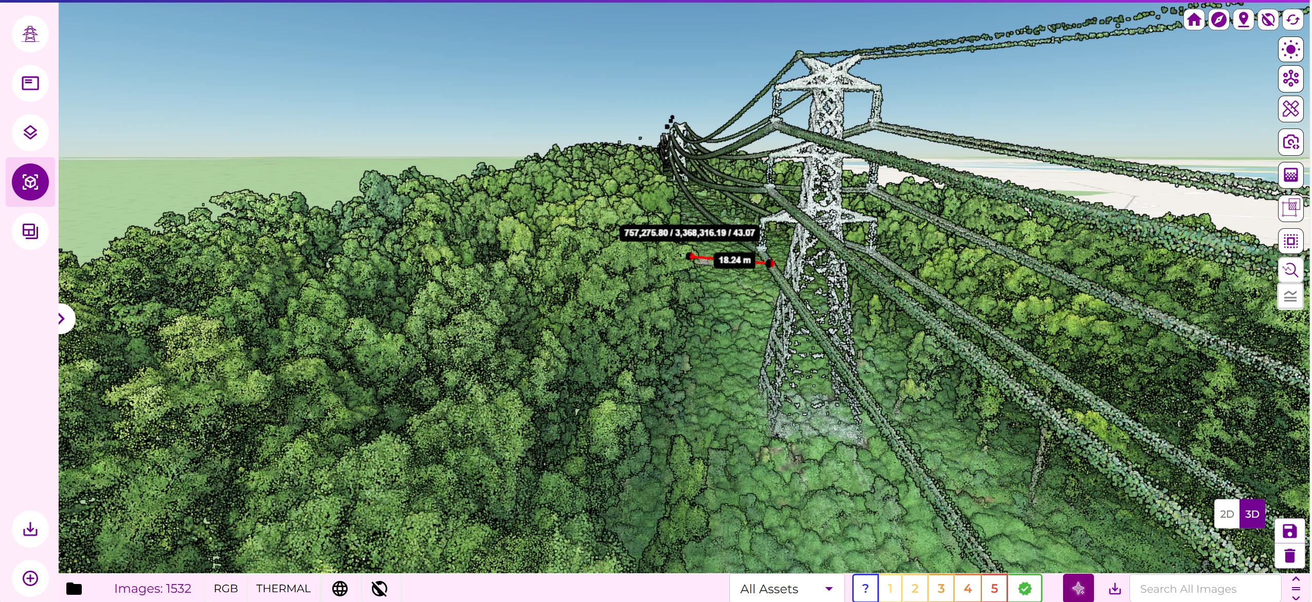
Spectra is a cloud platform from Skylark Drones for working with drone data from industrial sites. It uses satellite data to outline a site and plan autonomous capture missions, then builds a digital model of the site that users can view in 2D and 3D and measure for distance, area and volume. Sector modules cover mining stockpiles and haul roads, solar construction progress, road and rail corridors, utilities and crop yield estimation. Users can generate reports, raise issues and share findings with their team. Customers without their own drones can request flights through Skylark's network of drone operators.
Specifications
3 of 3 published by the vendor. “Ask the vendor” means the brochure does not say.
Product
- Deployment
- all on the cloud
- Platforms
- Anywhere. Anytime. (browser platform, 'Enter Spectra')
- Output formats
- Users can import your data in geoTIFF, DXF, DWG, KML, and KMZ or export as JPEG, TIFF, DXF, or LAZ files
Skylark Drones
Bengaluru
Drone data analytics, mission operations and airspace tools for enterprises
More details
- Made in
- India
Spectra Drone Analytics Platform
Price on request