 1 / 2
DeepMatrix GeoIntelligence Platform
Cloud-native AI platform that fuses drone, LiDAR, satellite and sensor data to detect infrastructure faults and trigger ERP/CMMS work orders.
 Sold byDeepMatrix Bengaluru
- Deployment
- cloud-native architecture
Price
Price on request
Ask for a quote for your quantity and delivery location.
- Free
- No account
- Direct reply
About this software
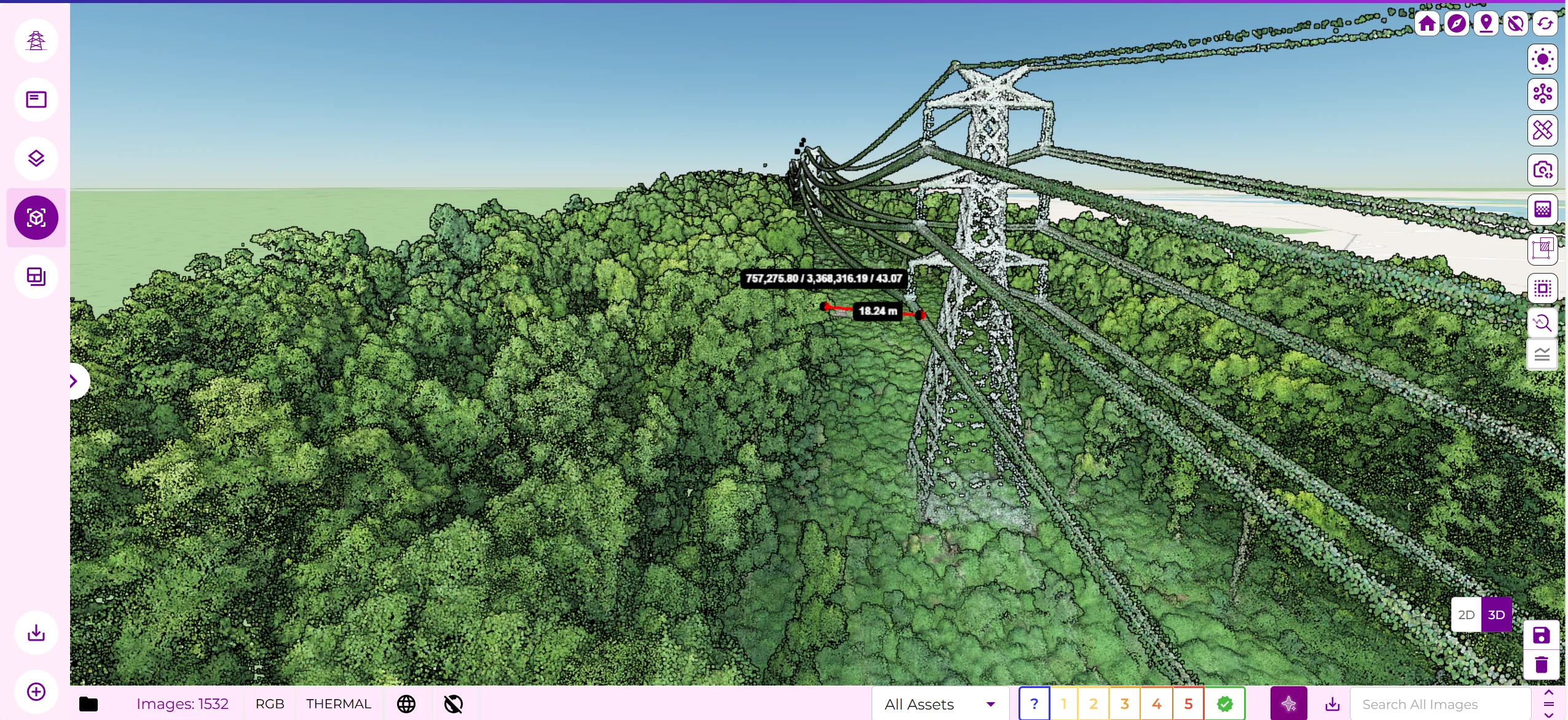
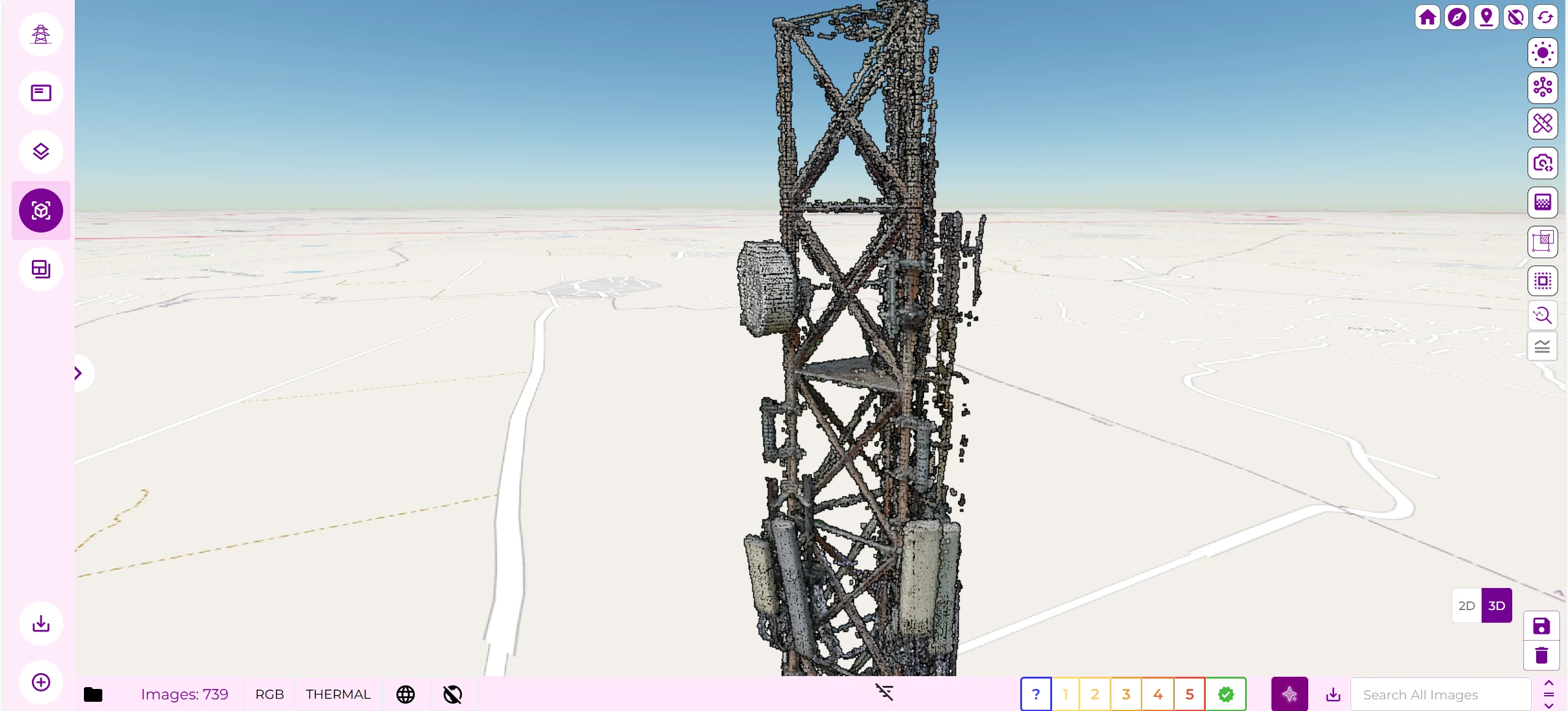
The DeepMatrix platform ingests RGB and thermal imagery, LiDAR scans, satellite data, sensor telemetry and enterprise records, and uses machine-learning models to flag faults and rank them by risk. Industry modules cover telecom towers (corrosion, tilt, component misalignment, overheating and inventory reconciliation against ERP records), power transmission lines (thermal hotspots, sag and tension, right-of-way encroachment), transit corridors, land management and mining. A predictive maintenance layer scores asset risk and creates geo-tagged work orders in ERP and CMMS systems such as SAP, IBM Maximo and Oracle Utilities, and field outcomes are fed back to refine the models. Results are delivered to dashboards, field teams and backend systems.
Specifications
2 of 2 published by the vendor. “Ask the vendor” means the brochure does not say.
Product
- Deployment
- cloud-native architecture
- Supported drones / autopilots
- Live Transmission Data; Thermal/RGB Imagery; LiDAR Drone Data; Whether field-scanned or drone-based, DeepMatrix adapts to varied data coverage models
DeepMatrix
Bengaluru
DeepMatrix using its cloud-native SaaS platform and AI-driven business model offers comprehensive capabilities across t…
More details
- Made in
- India
DeepMatrix GeoIntelligence Platform
Price on request