Ensight+ Cloud Photogrammetry Platform
Cloud photogrammetry service producing orthomosaics, 3D meshes, point clouds, contours and NDVI from drone imagery; exports GeoTIFF, LAS, OBJ, KML.
 Sold byEnord New Delhi
- Deployment
- cloud-based photogrammetry platform
Price
Price on request
Ask for a quote for your quantity and delivery location.
- Free
- No account
- Direct reply
About this software
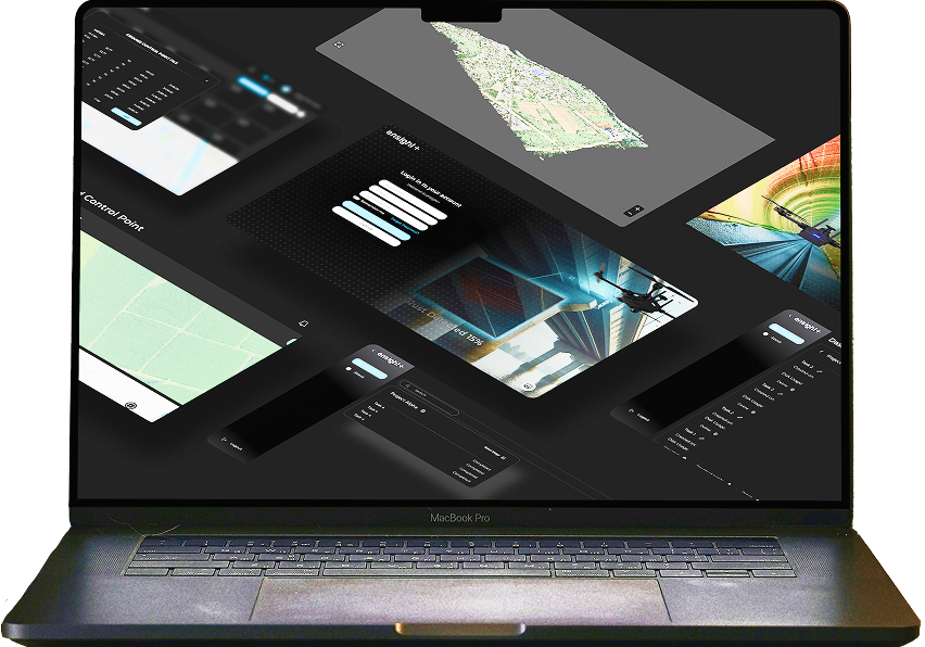
Ensight+ is Enord's cloud platform for processing drone imagery into maps and models. Users upload geotagged images, and the service produces georeferenced orthomosaics, textured 3D mesh models, dense point clouds and contour maps, along with NDVI and multispectral plant-health layers. Built-in tools cover volume measurement, change detection and vegetation analysis. Results can be exported as GeoTIFF, LAS, OBJ and KML for use in GIS and CAD software. Because processing runs in the cloud, no local workstation is needed, and the platform is aimed at agriculture, defence, construction and survey users.
Specifications
2 of 2 published by the vendor. “Ask the vendor” means the brochure does not say.
Product
- Deployment
- cloud-based photogrammetry platform
- Output formats
- Export data in multiple formats including GeoTIFF, LAS, OBJ, and KML
More details
- Made in
- India
Ensight+ Cloud Photogrammetry Platform
Price on request