ideaForge FLYGHT CLOUD Drone Data Platform
Model FLYGHT CLOUD
Cloud platform for drone data: upload, process and share orthomosaics, NDVI, 3D terrain, LiDAR point clouds and mission video in one dashboard.
- Deployment
- cloud-based processing; Generate and explore orthomosaics, NDVI layers, and 3D terrain models in the cloud
- Platforms
- Explore FLYGHT CLOUD button links to flyghtcloud.ideaforgetech.com (browser app); "explore ... in the cloud"
Price
Price on request
Ask for a quote for your quantity and delivery location.
- Free
- No account
- Vendor replies
About this software
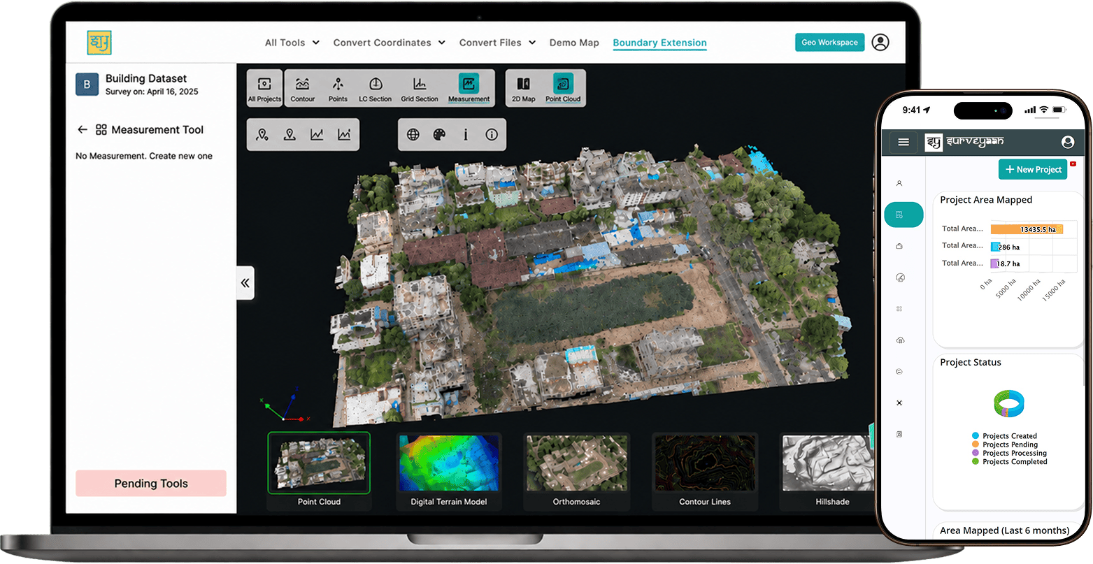
FLYGHT CLOUD is ideaForge's cloud platform for managing drone data from capture to analysis. Users upload survey data, choose the processing software that suits the job and share outputs with their team from one project dashboard. The maker's LiDAR solution page describes standard workflows that produce georeferenced point clouds, DEMs, DTMs, volumetrics and 3D models, while FLYGHT Maps shows orthomosaics, NDVI layers and 3D terrain models in the browser and FLYGHT Video replays mission footage with telemetry and map overlays. ideaForge also offers access to expert drone operators through the same platform.
Specifications
3 of 3 published by the vendor. “Ask the vendor” means the brochure does not say.
Product
- Deployment
- cloud-based processing; Generate and explore orthomosaics, NDVI layers, and 3D terrain models in the cloud
- Platforms
- Explore FLYGHT CLOUD button links to flyghtcloud.ideaforgetech.com (browser app); "explore ... in the cloud"
- Output formats
- Flyght Maps ...; generating georeferenced point clouds, DEMs, DTMs, volumetrics, and 3D models; Point cloud outputs (LAS/LAZ)
More details
- Made in
- India
ideaForge FLYGHT CLOUD Drone Data Platform
Price on request